Smirnovo night lights from space
Night Light of Smirnovo (Soltüstik Qazaqstan) from space (Kazakhstan) Src. Average luminocity for 10x10km area is 0.2656% and for 50x50km: 0.0112%.
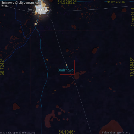
Analysis of Smirnovo night lights 2016
Square area 10x10 km:
 0%
0%90-99
0%80-89
0%70-79
0%60-69
0%50-59
0.48%40-49
0%30-39
0%20-29
0%10-19
0%0-9
99.52%Square area 50x50 km:
0%90-99
0%80-89
0%70-79
0%60-69
0%50-59
0.02%40-49
0%30-39
0%20-29
0%10-19
0%0-9
99.98%Clear (daylight) street map image can be seen on geolist.org.
Map coordinates:
54° 55' 15.3" North, 68° 43' 27.1" East
54° 30' 53.3" North, 69° 25' 38.4" East
54° 6' 16.6" North, 70° 7' 49.6" East
Some cities around Smirnovo sort by population:
• Petropavl
43 km =26.7 mi,  335°
335°
• Kokshetau
136.9 km =85.1 mi,  180°
180°
• Akkol’
136 km =84.5 mi, 175°
• Taiynsha
77.4 km =48.1 mi,  163°
163°
• Petukhovo, RU
115.6 km =71.8 mi,  302°
302°
• Bulayevo
78.3 km =48.7 mi,  56°
56°
• Kazanskoye, RU
126.2 km =78.4 mi,  354°
354°
• Bishkul
36 km =22.4 mi,  324°
324°
1518936 (p: 5,742)
Sources (retrieved 2019-11-25):
» Earth at Night: Flat Maps 2012, 2016