Būrabay night lights from space
Night Light of Būrabay (Soltüstik Qazaqstan) from space (Kazakhstan) Src. Average luminocity for 10x10km area is 2.8545% and for 50x50km: 0.6094%.
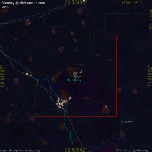
Analysis of Būrabay night lights 2016
Square area 10x10 km:
 0%
0%90-99
0%80-89
0%70-79
0%60-69
0%50-59
0.13%40-49
3.04%30-39
1.98%20-29
1.72%10-19
0%0-9
93.12%Square area 50x50 km:
0.02%90-99
0.01%80-89
0.02%70-79
0.06%60-69
0.16%50-59
0.18%40-49
0.21%30-39
0.18%20-29
0.15%10-19
0.08%0-9
98.92%Clear (daylight) street map image can be seen on geolist.org.
Map coordinates:
53° 30' 14.7" North, 69° 36' 38.4" East
53° 5' 1.8" North, 70° 18' 49.6" East
52° 39' 33.9" North, 71° 1' 0.9" East
Some cities around Būrabay sort by population:
• Kokshetau
64.8 km =40.3 mi,  290°
290°
• Shchuchinsk
18.4 km =11.4 mi,  206°
206°
• Makinsk
50.6 km =31.4 mi,  171°
171°
• Akkol’
53.1 km =33 mi,  296°
296°
• Taiynsha
92.3 km =57.4 mi,  336°
336°
• Aksu
131.5 km =81.7 mi,  122°
122°
• Balkashino
122.4 km =76.1 mi,  239°
239°
• Zavodskoy
133.2 km =82.8 mi, 120°
1525126 (p: 6,500)
Sources (retrieved 2019-11-25):
» Earth at Night: Flat Maps 2012, 2016