Bulayevo night lights from space
Night Light of Bulayevo (Soltüstik Qazaqstan) from space (Kazakhstan) Src. Average luminocity for 10x10km area is 0.2057% and for 50x50km: 0.0085%.
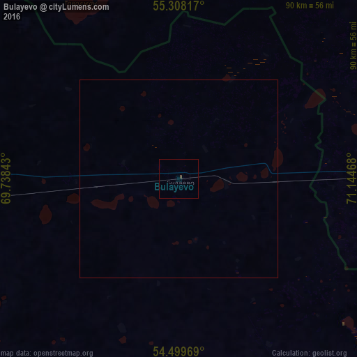
Analysis of Bulayevo night lights 2016
Square area 10x10 km:
 0%
0%90-99
0%80-89
0%70-79
0%60-69
0%50-59
0%40-49
0.48%30-39
0%20-29
0%10-19
0%0-9
99.52%Square area 50x50 km:
0%90-99
0%80-89
0%70-79
0%60-69
0%50-59
0%40-49
0.02%30-39
0%20-29
0%10-19
0%0-9
99.98%Clear (daylight) street map image can be seen on geolist.org.
Map coordinates:
55° 18' 29.4" North, 69° 44' 18.3" East
54° 54' 21.5" North, 70° 26' 29.6" East
54° 29' 58.9" North, 71° 8' 40.8" East
Some cities around Bulayevo sort by population:
• Petropavl
82.7 km =51.4 mi,  266°
266°
• Taiynsha
125.5 km =78 mi,  200°
200°
• Nazyvayevsk, RU
93.7 km =58.2 mi,  38°
38°
• Poltavka, RU
104.1 km =64.7 mi,  125°
125°
• Kazanskoye, RU
112.2 km =69.7 mi,  317°
317°
• Smirnovo
78.3 km =48.7 mi,  236°
236°
• Rostovka, RU
106.2 km =66 mi,  59°
59°
• Bishkul
87.1 km =54.1 mi,  260°
260°
1525014 (p: 9,886)
Sources (retrieved 2019-11-25):
» Earth at Night: Flat Maps 2012, 2016