Petukhovo night lights from space
Night Light of Petukhovo (Kurgan Oblast) from space (Russia) Src. Average luminocity for 10x10km area is 1.7607% and for 50x50km: 0.0765%.
Analysis of Petukhovo night lights 2016
Square area 10x10 km:
 0.25%
0.25%90-99
0.25%80-89
0%70-79
0%60-69
1%50-59
0%40-49
0.5%30-39
0.5%20-29
0%10-19
0%0-9
97.49%Square area 50x50 km:
0.01%90-99
0.01%80-89
0%70-79
0%60-69
0.04%50-59
0%40-49
0.02%30-39
0.04%20-29
0%10-19
0%0-9
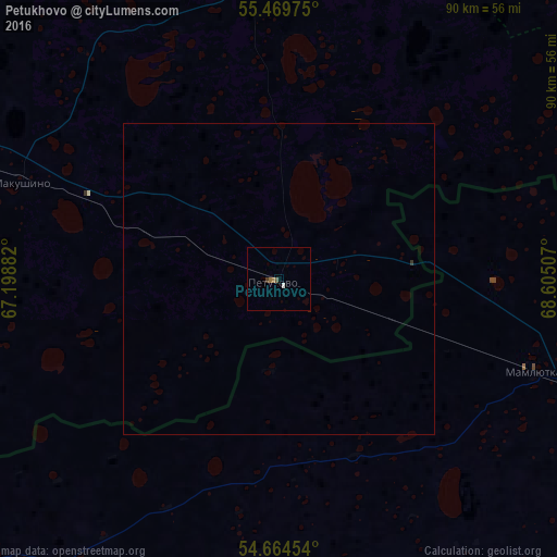
99.88%Clear (daylight) street map image can be seen on geolist.org.
Map coordinates:
55° 28' 11.1" North, 67° 11' 55.8" East
55° 4' 9" North, 67° 54' 7" East
54° 39' 52.3" North, 68° 36' 18.3" East
Some cities around Petukhovo sort by population:
• Petropavl, KZ
82.8 km =51.4 mi,  105°
105°
• Vargashi
134.2 km =83.4 mi,  283°
283°
• Makushino
44.7 km =27.8 mi,  290°
290°
• Lebyazh’ye
92.1 km =57.2 mi, 283°
• Kazanskoye
105.8 km =65.7 mi,  52°
52°
• Smirnovo, KZ
115.6 km =71.8 mi,  122°
122°
• Bishkul, KZ
83.1 km =51.6 mi, 112°
• Polovinnoye
126.2 km =78.4 mi,  255°
255°
1495022 (p: 12,367)
Sources (retrieved 2019-11-25):
» Earth at Night: Flat Maps 2012, 2016