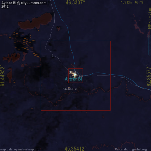
Ayteke Bi night lights from space
Night Light of Ayteke Bi (Qyzylorda) from space (Kazakhstan) Src. Average luminocity for 10x10km area is 12.7857% and for 50x50km: 0.6276%.
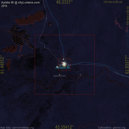
Analysis of Ayteke Bi night lights 2016
Square area 10x10 km:
 2.68%
2.68%90-99
2.53%80-89
1.93%70-79
0.6%60-69
0.6%50-59
0.74%40-49
1.04%30-39
1.79%20-29
1.19%10-19
1.64%0-9
85.27%Square area 50x50 km:
0.11%90-99
0.12%80-89
0.08%70-79
0.02%60-69
0.05%50-59
0.05%40-49
0.07%30-39
0.07%20-29
0.1%10-19
0.07%0-9
99.26%Clear (daylight) street map image can be seen on geolist.org.
Map coordinates:
46° 20' 1.3" North, 61° 26' 58.3" East
45° 50' 45.9" North, 62° 9' 9.5" East
45° 21' 14.8" North, 62° 51' 20.8" East
Some cities around Ayteke Bi sort by population:
• Baikonur
93.9 km =58.3 mi,  105°
105°
• Aral
112.4 km =69.8 mi,  340°
340°
• Zhosaly
154.8 km =96.2 mi,  104°
104°
• Dzhalagash
213.6 km =132.7 mi, 113°
• Terenozek
237.9 km =147.8 mi, 111°
• Tyuratam
92.5 km =57.5 mi, 103°
• Sekseūil
158.1 km =98.2 mi,  331°
331°
• Qazaly
9.9 km =6.2 mi,  200°
200°
1516789 (p: 35,883)
Sources (retrieved 2019-11-25):
» Earth at Night: Flat Maps 2012, 2016