Tyuratam night lights from space
Night Light of Tyuratam (Baikonur) from space (Kazakhstan) Src. Average luminocity for 10x10km area is 13.0718% and for 50x50km: 0.5984%.
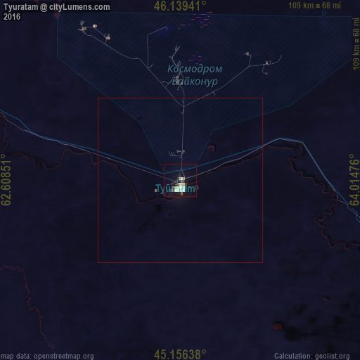
Analysis of Tyuratam night lights 2016
Square area 10x10 km:
 1.61%
1.61%90-99
2.64%80-89
2.79%70-79
1.17%60-69
0.59%50-59
0.59%40-49
1.76%30-39
2.35%20-29
1.17%10-19
5.28%0-9
80.06%Square area 50x50 km:
0.07%90-99
0.11%80-89
0.11%70-79
0.05%60-69
0.02%50-59
0.05%40-49
0.07%30-39
0.1%20-29
0.09%10-19
0.22%0-9
99.12%Clear (daylight) street map image can be seen on geolist.org.
Map coordinates:
46° 8' 21.9" North, 62° 36' 30.6" East
45° 39' 0.2" North, 63° 18' 41.9" East
45° 9' 23" North, 64° 0' 53.1" East
Some cities around Tyuratam sort by population:
• Kyzylorda
193.5 km =120.2 mi,  117°
117°
• Baikonur
3.7 km =2.3 mi,  173°
173°
• Ayteke Bi
92.5 km =57.5 mi,  283°
283°
• Aral
179.9 km =111.8 mi,  315°
315°
• Zhosaly
62.3 km =38.7 mi,  106°
106°
• Dzhalagash
123.2 km =76.6 mi, 120°
• Terenozek
146.7 km =91.2 mi, 117°
• Qazaly
94.3 km =58.6 mi, 277°
9858283 (p: 9,548)
Sources (retrieved 2019-11-25):
» Earth at Night: Flat Maps 2012, 2016