Chapaev night lights from space
Night Light of Chapaev (Batys Qazaqstan) from space (Kazakhstan) Src. Average luminocity for 10x10km area is 0% and for 50x50km: 0%.
Analysis of Chapaev night lights 2016
Square area 10x10 km:
 0%
0%90-99
0%80-89
0%70-79
0%60-69
0%50-59
0%40-49
0%30-39
0%20-29
0%10-19
0%0-9
100%Square area 50x50 km:
0%90-99
0%80-89
0%70-79
0%60-69
0%50-59
0%40-49
0%30-39
0%20-29
0%10-19
0%0-9
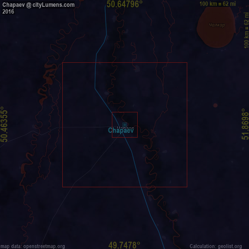
100%Clear (daylight) street map image can be seen on geolist.org.
Map coordinates:
50° 38' 52.7" North, 50° 27' 48.8" East
50° 12' 0" North, 51° 10' 0" East
49° 44' 52.1" North, 51° 52' 11.3" East
Some cities around Chapaev sort by population:
• Oral
115.8 km =72 mi,  6°
6°
• Aqsay
168 km =104.4 mi,  50°
50°
• Staryye Ozinki, RU
151.2 km =94 mi,  316°
316°
• Tasqala
118.5 km =73.6 mi,  328°
328°
• Zhumysker
159.3 km =99 mi,  232°
232°
• Dzhambeyty
102.1 km =63.4 mi,  86°
86°
• Dzhangala
124.7 km =77.5 mi,  208°
208°
• Fedorovka
126.4 km =78.5 mi,  26°
26°
610132 (p: 6,000)
Sources (retrieved 2019-11-25):
» Earth at Night: Flat Maps 2012, 2016