Svetlyy night lights from space
Night Light of Svetlyy (Orenburg Oblast) from space (Russia) Src. Average luminocity for 10x10km area is 0.2353% and for 50x50km: 0.0175%.
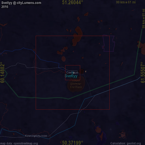
Analysis of Svetlyy night lights 2016
Square area 10x10 km:
 0%
0%90-99
0%80-89
0%70-79
0%60-69
0%50-59
0%40-49
0%30-39
0.56%20-29
0%10-19
0%0-9
99.44%Square area 50x50 km:
0%90-99
0%80-89
0%70-79
0%60-69
0%50-59
0%40-49
0%30-39
0.04%20-29
0%10-19
0%0-9
99.96%Clear (daylight) street map image can be seen on geolist.org.
Map coordinates:
51° 15' 37.6" North, 60° 8' 55.8" East
50° 49' 6" North, 60° 51' 7" East
50° 22' 19.2" North, 61° 33' 18.3" East
Some cities around Svetlyy sort by population:
• Orsk
165.5 km =102.8 mi,  285°
285°
• Dzhetygara, KZ
154.4 km =95.9 mi,  8°
8°
• Yasnyy
72.6 km =45.1 mi, 289°
• Novoorsk
144.8 km =90 mi,  295°
295°
• Bredy
181 km =112.5 mi,  348°
348°
• Dombarovskiy
92.6 km =57.5 mi,  265°
265°
• Energetik
176.3 km =109.5 mi,  305°
305°
• Adamovka
100.9 km =62.7 mi,  320°
320°
1490501 (p: 8,976)
Sources (retrieved 2019-11-25):
» Earth at Night: Flat Maps 2012, 2016