Bredy night lights from space
Night Light of Bredy (Chelyabinsk) from space (Russia) Src. Average luminocity for 10x10km area is 0.6086% and for 50x50km: 0.0251%.
Analysis of Bredy night lights 2016
Square area 10x10 km:
 0%
0%90-99
0%80-89
0%70-79
0%60-69
0%50-59
0%40-49
1.01%30-39
0%20-29
0.51%10-19
0%0-9
98.48%Square area 50x50 km:
0%90-99
0%80-89
0%70-79
0%60-69
0%50-59
0%40-49
0.04%30-39
0%20-29
0.02%10-19
0%0-9
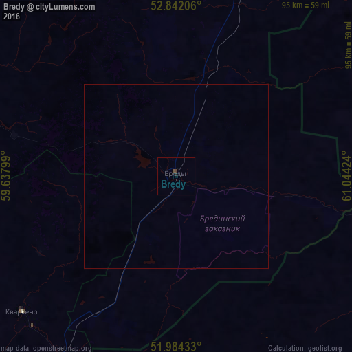
99.94%Clear (daylight) street map image can be seen on geolist.org.
Map coordinates:
52° 50' 31.4" North, 59° 38' 16.8" East
52° 24' 55" North, 60° 20' 28" East
51° 59' 3.6" North, 61° 2' 39.3" East
Some cities around Bredy sort by population:
• Sibay
118.1 km =73.4 mi,  286°
286°
• Dzhetygara, KZ
63.5 km =39.5 mi,  113°
113°
• Kartaly
73.9 km =45.9 mi,  16°
16°
• Lokomotivnyy
68.1 km =42.3 mi,  12°
12°
• Varna
115.6 km =71.8 mi, 21°
• Energetik
129.4 km =80.4 mi,  234°
234°
• Adamovka
103 km =64 mi,  195°
195°
• Agapovka
127.2 km =79 mi,  320°
320°
1508811 (p: 10,450)
Sources (retrieved 2019-11-25):
» Earth at Night: Flat Maps 2012, 2016