Chardara night lights from space
Night Light of Chardara (South Kazakhstan) from space (Kazakhstan) Src. Average luminocity for 10x10km area is 3.5179% and for 50x50km: 0.1501%.
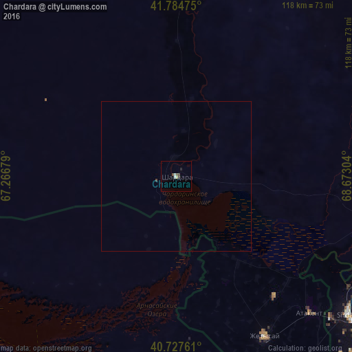
Analysis of Chardara night lights 2016
Square area 10x10 km:
 0.49%
0.49%90-99
0.81%80-89
0.65%70-79
0%60-69
0%50-59
0.65%40-49
1.3%30-39
0.16%20-29
1.14%10-19
0%0-9
94.81%Square area 50x50 km:
0.02%90-99
0.03%80-89
0.03%70-79
0%60-69
0%50-59
0.03%40-49
0.07%30-39
0.01%20-29
0.05%10-19
0%0-9
99.77%Clear (daylight) street map image can be seen on geolist.org.
Map coordinates:
41° 47' 5.1" North, 67° 16' 0.4" East
41° 15' 30" North, 67° 58' 11.7" East
40° 43' 39.4" North, 68° 40' 22.9" East
Some cities around Chardara sort by population:
• Sirdaryo, UZ
74.1 km =46 mi,  128°
128°
• Gagarin, UZ
68.5 km =42.6 mi,  165°
165°
• Zafar, UZ
83.7 km =52 mi,  111°
111°
• Chinoz, UZ
75.4 km =46.9 mi,  118°
118°
• Dŭstlik, UZ
81.8 km =50.8 mi,  176°
176°
• Atakent
64.1 km =39.8 mi,  135°
135°
• Asyqata
52.2 km =32.4 mi, 140°
• Myrzakent
81.9 km =50.9 mi, 143°
1524889 (p: 25,356)
Sources (retrieved 2019-11-25):
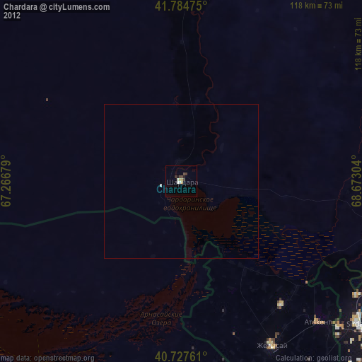
» Earth at Night: Flat Maps 2012, 2016