Dzhalagash night lights from space
Night Light of Dzhalagash (Qyzylorda) from space (Kazakhstan) Src. Average luminocity for 10x10km area is 4.1197% and for 50x50km: 0.3592%.
Analysis of Dzhalagash night lights 2016
Square area 10x10 km:
 0%
0%90-99
0%80-89
0.61%70-79
0.3%60-69
2.73%50-59
0.61%40-49
0.61%30-39
1.21%20-29
0.61%10-19
0%0-9
93.33%Square area 50x50 km:
0.01%90-99
0.04%80-89
0.05%70-79
0.02%60-69
0.14%50-59
0.08%40-49
0.05%30-39
0.09%20-29
0.05%10-19
0.07%0-9
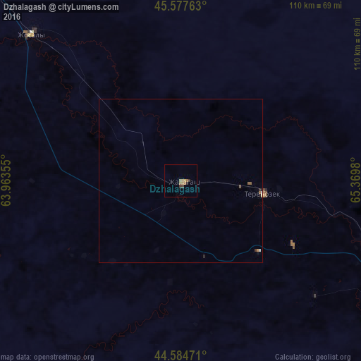
99.4%Clear (daylight) street map image can be seen on geolist.org.
Map coordinates:
45° 34' 39.5" North, 63° 57' 48.8" East
45° 4' 60" North, 64° 40' 0" East
44° 35' 5" North, 65° 22' 11.3" East
Some cities around Dzhalagash sort by population:
• Kyzylorda
71.1 km =44.2 mi,  111°
111°
• Baikonur
121 km =75.2 mi,  299°
299°
• Shīeli
192.9 km =119.9 mi,  121°
121°
• Zhosaly
64.4 km =40 mi,  314°
314°
• Tasböget
77.7 km =48.3 mi, 116°
• Terenozek
25.2 km =15.7 mi,  98°
98°
• Tyuratam
123.2 km =76.6 mi, 300°
• Qazaly
213.5 km =132.7 mi,  290°
290°
1524478 (p: 14,226)
Sources (retrieved 2019-11-25):
» Earth at Night: Flat Maps 2012, 2016