Shar night lights from space
Night Light of Shar (East Kazakhstan) from space (Kazakhstan) Src. Average luminocity for 10x10km area is 0.3599% and for 50x50km: 0.0445%.
Analysis of Shar night lights 2016
Square area 10x10 km:
 0%
0%90-99
0%80-89
0%70-79
0%60-69
0%50-59
0%40-49
0.56%30-39
0%20-29
0%10-19
0.56%0-9
98.88%Square area 50x50 km:
0%90-99
0%80-89
0%70-79
0%60-69
0.04%50-59
0%40-49
0.02%30-39
0%20-29
0%10-19
0.02%0-9
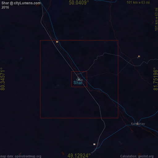
99.91%Clear (daylight) street map image can be seen on geolist.org.
Map coordinates:
50° 2' 27.2" North, 80° 20' 44.6" East
49° 35' 13.9" North, 81° 2' 55.8" East
49° 7' 45.3" North, 81° 45' 7.1" East
Some cities around Shar sort by population:
• Ust-Kamenogorsk
119.7 km =74.4 mi,  69°
69°
• Semey
108.8 km =67.6 mi,  329°
329°
• Georgīevka
47.7 km =29.6 mi,  127°
127°
• Shemonaīkha
131.1 km =81.5 mi,  28°
28°
• Glubokoye
109.3 km =67.9 mi,  55°
55°
• Belousovka
122 km =75.8 mi, 60°
• Ūst’-Talovka
121.3 km =75.4 mi, 28°
• Borodulikha
126.1 km =78.4 mi,  356°
356°
1519275 (p: 9,087)
Sources (retrieved 2019-11-25):
» Earth at Night: Flat Maps 2012, 2016