Georgīevka night lights from space
Night Light of Georgīevka (East Kazakhstan) from space (Kazakhstan) Src. Average luminocity for 10x10km area is 0.4559% and for 50x50km: 0.019%.
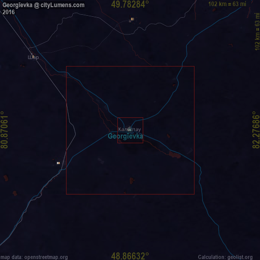
Analysis of Georgīevka night lights 2016
Square area 10x10 km:
 0%
0%90-99
0%80-89
0%70-79
0%60-69
0%50-59
0%40-49
0%30-39
0.53%20-29
0.53%10-19
0.53%0-9
98.4%Square area 50x50 km:
0%90-99
0%80-89
0%70-79
0%60-69
0%50-59
0%40-49
0%30-39
0.02%20-29
0.02%10-19
0.02%0-9
99.93%Clear (daylight) street map image can be seen on geolist.org.
Map coordinates:
49° 46' 58.2" North, 80° 52' 14.2" East
49° 19' 36.2" North, 81° 34' 25.4" East
48° 51' 58.8" North, 82° 16' 36.7" East
Some cities around Georgīevka sort by population:
• Ust-Kamenogorsk
103.2 km =64.1 mi,  46°
46°
• Glubokoye
104.7 km =65.1 mi,  30°
30°
• Belousovka
112.7 km =70 mi,  37°
37°
• Shar
47.7 km =29.6 mi,  307°
307°
• Ūst’-Talovka
137.4 km =85.4 mi,  8°
8°
• Zhanga Buqtyrma
144.9 km =90 mi,  76°
76°
• Asūbulaq
110.7 km =68.8 mi, 76°
• Kokpekty
88 km =54.7 mi,  136°
136°
1524245 (p: 22,047)
Sources (retrieved 2019-11-25):
» Earth at Night: Flat Maps 2012, 2016