Şabāḩ as Sālim night lights from space
Night Light of Şabāḩ as Sālim (Mubārak al Kabīr) from space (Kuwait) Src. Average luminocity for 10x10km area is 98.3845% and for 50x50km: 46.9662%.
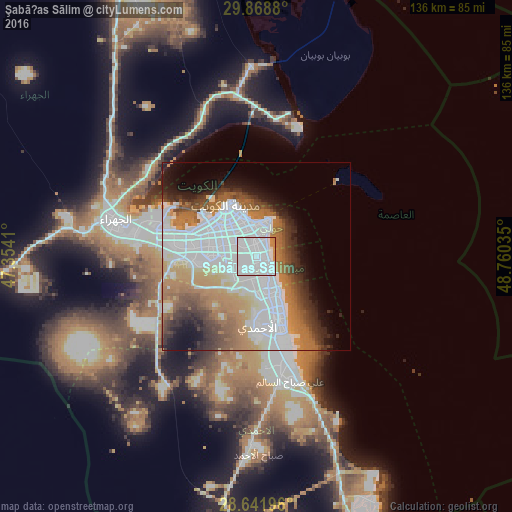

Analysis of Şabāḩ as Sālim night lights 2016
Square area 10x10 km:
 82.39%
90-99
12.69%80-89
0%70-79
3.98%60-69
0.95%50-59
0%40-49
0%30-39
0%20-29
0%10-19
0%0-9
0%Square area 50x50 km:
20.46%90-99
6.73%80-89
2.5%70-79
5.03%60-69
8.93%50-59
4.5%40-49
4.16%30-39
4.5%20-29
4.53%10-19
6.31%0-9
32.36%Clear (daylight) street map image can be seen on geolist.org.
Map coordinates:
29° 52' 7.7" North, 47° 21' 14.8" East
29° 15' 26" North, 48° 3' 26" East
28° 38' 31.1" North, 48° 45' 37.3" East
Some cities around Şabāḩ as Sālim sort by population:
• Ḩawallī
8.8 km =5.5 mi,  341°
341°
• As Sālimīyah
8.7 km =5.4 mi,  12°
12°
• Al Farwānīyah
9.8 km =6.1 mi,  283°
283°
• Ar Rumaythīyah
6.3 km =3.9 mi,  15°
15°
• Salwá
4.8 km =3 mi,  25°
25°
• Bayān
5.2 km =3.2 mi,  350°
350°
• Janūb as Surrah
7.8 km =4.8 mi, 279°
• Mubārak al Kabīr
8 km =5 mi,  158°
158°
412800 (p: 139,163)
Sources (retrieved 2019-11-25):
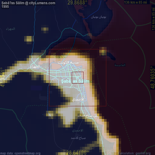
» NASA, Earths city lights 1995
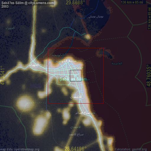
» NASA city lights 2003
» Earth at Night: Flat Maps 2012, 2016