Ar Riqqah night lights from space
Night Light of Ar Riqqah (Al Aḩmadī) from space (Kuwait) Src. Average luminocity for 10x10km area is 97.2341% and for 50x50km: 52.631%.
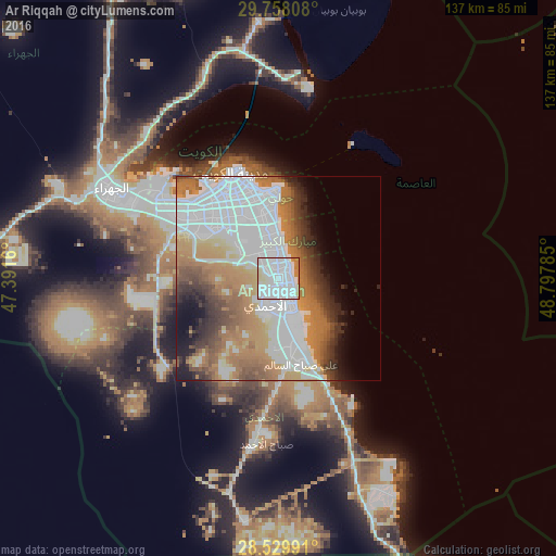
Analysis of Ar Riqqah night lights 2016
Square area 10x10 km:
 67.26%
90-99
22.22%80-89
5.75%70-79
1.59%60-69
3.17%50-59
0%40-49
0%30-39
0%20-29
0%10-19
0%0-9
0%Square area 50x50 km:
21.19%90-99
8.08%80-89
3.06%70-79
6.98%60-69
11.06%50-59
5.61%40-49
4.45%30-39
4.59%20-29
4.21%10-19
4.88%0-9
25.9%Clear (daylight) street map image can be seen on geolist.org.
Map coordinates:
29° 45' 29.1" North, 47° 23' 29.8" East
29° 8' 45" North, 48° 5' 41" East
28° 31' 47.7" North, 48° 47' 52.3" East
Some cities around Ar Riqqah sort by population:
• Al Aḩmadī
7.7 km =4.8 mi,  187°
187°
• Şabāḩ as Sālim
12.9 km =8 mi,  343°
343°
• Al Faḩāḩīl
7.8 km =4.8 mi,  153°
153°
• Salwá
16.8 km =10.4 mi,  354°
354°
• Al Manqaf
6.7 km =4.2 mi, 146°
• Al Finţās
4 km =2.5 mi,  39°
39°
• Al Mahbūlah
3.5 km =2.2 mi,  91°
91°
• Mubārak al Kabīr
4.9 km =3 mi, 351°
285728 (p: 52,068)
Sources (retrieved 2019-11-25):
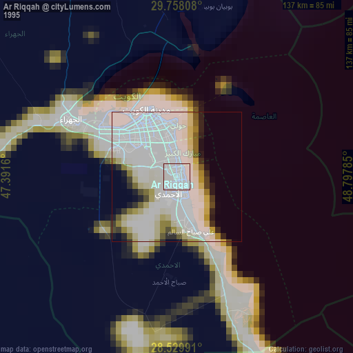
» NASA, Earths city lights 1995
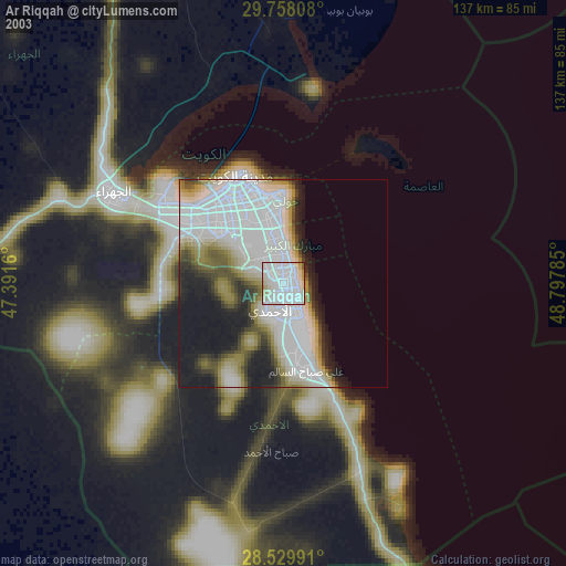
» NASA city lights 2003
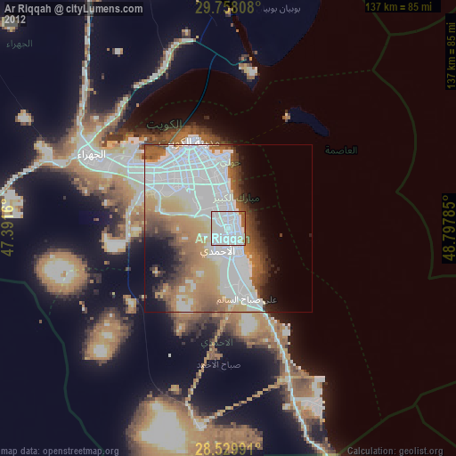
» Earth at Night: Flat Maps 2012, 2016