Anseong night lights from space
Night Light of Anseong (Gyeonggi-do) from space (South Korea) Src. Average luminocity for 10x10km area is 61.8946% and for 50x50km: 49.6411%.
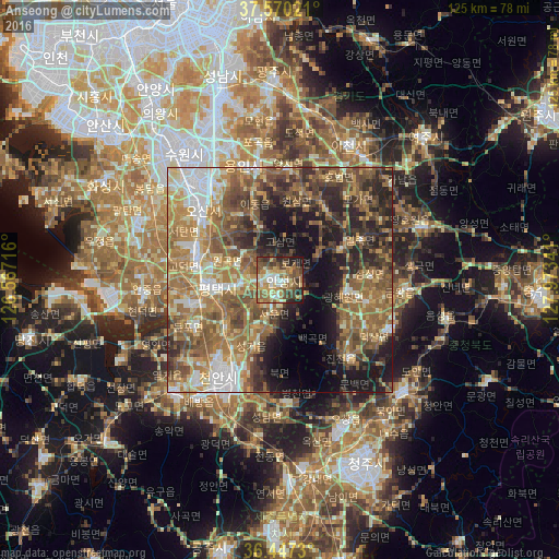
Analysis of Anseong night lights 2016
Square area 10x10 km:
 5.78%
5.78%90-99
11.39%80-89
9.35%70-79
13.1%60-69
11.9%50-59
17.86%40-49
11.56%30-39
9.01%20-29
5.61%10-19
4.42%0-9
0%Square area 50x50 km:
5.01%90-99
7.72%80-89
6.03%70-79
8.17%60-69
12.57%50-59
13.46%40-49
8.14%30-39
7.75%20-29
9.64%10-19
11.94%0-9
9.58%Clear (daylight) street map image can be seen on geolist.org.
Map coordinates:
37° 34' 12.8" North, 126° 34' 1.8" East
37° 0' 39" North, 127° 16' 13" East
36° 26' 50.3" North, 127° 58' 24.3" East
Some cities around Anseong sort by population:
• Suwon
38.8 km =24.1 mi,  323°
323°
• Cheonan
25 km =15.5 mi,  204°
204°
• Icheon-si
33.5 km =20.8 mi,  27°
27°
• Osan
23.7 km =14.7 mi,  311°
311°
• Asan
34.6 km =21.5 mi,  223°
223°
• Pubal
37.7 km =23.4 mi, 33°
• Chinch'ŏn
23 km =14.3 mi,  138°
138°
• Seonghwan
16.3 km =10.1 mi,  229°
229°
1846912 (p: 69,255)
Sources (retrieved 2019-11-25):
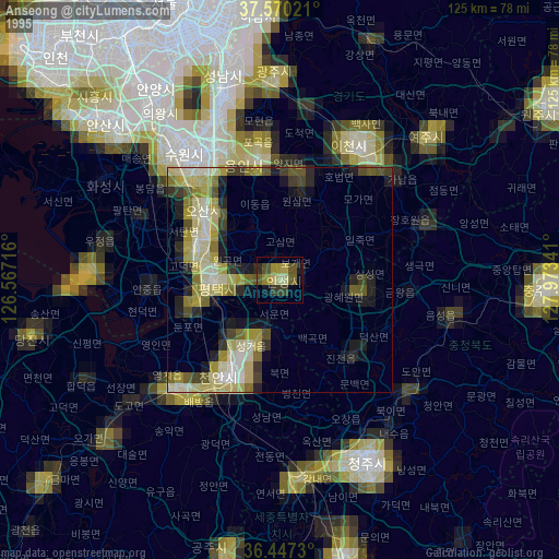
» NASA, Earths city lights 1995
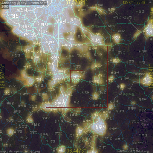
» NASA city lights 2003
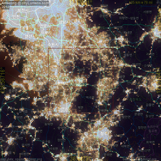
» Earth at Night: Flat Maps 2012, 2016