T’ongch’ŏn-ŭp night lights from space
Night Light of T’ongch’ŏn-ŭp (Kangwŏn-do) from space (North Korea) Src. Average luminocity for 10x10km area is 0.6397% and for 50x50km: 0.0316%.
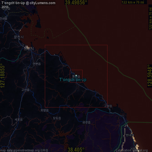

Analysis of T’ongch’ŏn-ŭp night lights 2016
Square area 10x10 km:
 0%
0%90-99
0.67%80-89
0%70-79
0%60-69
0%50-59
0%40-49
0%30-39
0%20-29
0%10-19
0%0-9
99.33%Square area 50x50 km:
0%90-99
0.03%80-89
0%70-79
0%60-69
0%50-59
0%40-49
0%30-39
0%20-29
0.03%10-19
0%0-9
99.95%Clear (daylight) street map image can be seen on geolist.org.
Map coordinates:
39° 29' 54.8" North, 127° 11' 18.8" East
38° 57' 14" North, 127° 53' 30" East
38° 24' 18" North, 128° 35' 41.3" East
Some cities around T’ongch’ŏn-ŭp sort by population:
• Wŏnsan
44.6 km =27.7 mi,  299°
299°
• Kosong, KR
81.2 km =50.5 mi,  141°
141°
• Anbyŏn-ŭp
33.3 km =20.7 mi,  287°
287°
• Kosan
42.4 km =26.3 mi,  255°
255°
• Kowŏn-ŭp
77.6 km =48.2 mi,  313°
313°
• Hoeyang
37.1 km =23.1 mi,  223°
223°
• Sinsang-ni
88 km =54.7 mi,  331°
331°
• Sangsŏng-ni
90.1 km =56 mi, 285°
1867927 (p: 20,575)
Sources (retrieved 2019-11-25):
» Earth at Night: Flat Maps 2012, 2016