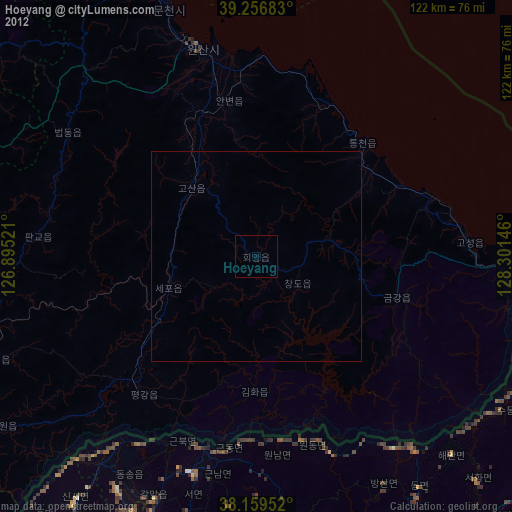
Hoeyang night lights from space
Night Light of Hoeyang (Kangwŏn-do) from space (North Korea) Src. Average luminocity for 10x10km area is 0% and for 50x50km: 0%.
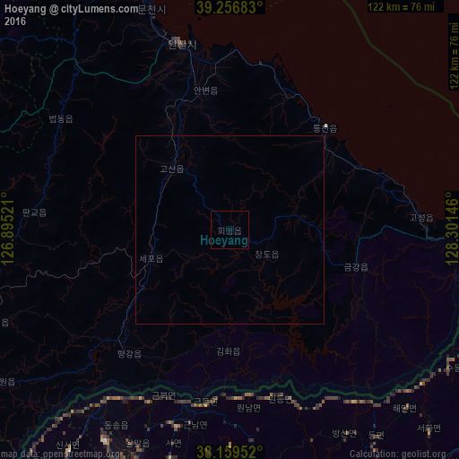
Analysis of Hoeyang night lights 2016
Square area 10x10 km:
 0%
0%90-99
0%80-89
0%70-79
0%60-69
0%50-59
0%40-49
0%30-39
0%20-29
0%10-19
0%0-9
100%Square area 50x50 km:
0%90-99
0%80-89
0%70-79
0%60-69
0%50-59
0%40-49
0%30-39
0%20-29
0%10-19
0%0-9
100%Clear (daylight) street map image can be seen on geolist.org.
Map coordinates:
39° 15' 24.6" North, 126° 53' 42.8" East
38° 42' 37" North, 127° 35' 54" East
38° 9' 34.3" North, 128° 18' 5.3" East
Some cities around Hoeyang sort by population:
• Wŏnsan
51 km =31.7 mi,  344°
344°
• Anbyŏn-ŭp
37.5 km =23.3 mi,  350°
350°
• Kosan
22.5 km =14 mi,  316°
316°
• Yanggu, KR
75.4 km =46.9 mi,  153°
153°
• Hwacheon, KR
67.7 km =42.1 mi,  172°
172°
• T’ongch’ŏn-ŭp
37.1 km =23.1 mi,  43°
43°
• Koksan
81.2 km =50.5 mi,  275°
275°
• Sangsŏng-ni
80 km =49.7 mi,  309°
309°
1877148 (p: 21,111)
Sources (retrieved 2019-11-25):
» Earth at Night: Flat Maps 2012, 2016