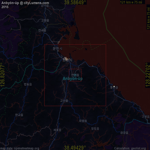
Anbyŏn-ŭp night lights from space
Night Light of Anbyŏn-ŭp (Kangwŏn-do) from space (North Korea) Src. Average luminocity for 10x10km area is 0% and for 50x50km: 0.1322%.

Analysis of Anbyŏn-ŭp night lights 2016
Square area 10x10 km:
 0%
0%90-99
0%80-89
0%70-79
0%60-69
0%50-59
0%40-49
0%30-39
0%20-29
0%10-19
0%0-9
100%Square area 50x50 km:
0%90-99
0%80-89
0%70-79
0%60-69
0.01%50-59
0.01%40-49
0.03%30-39
0.18%20-29
0.11%10-19
0.03%0-9
99.63%Clear (daylight) street map image can be seen on geolist.org.
Map coordinates:
39° 35' 11.4" North, 126° 49' 14.8" East
39° 2' 33" North, 127° 31' 26" East
38° 29' 39.4" North, 128° 13' 37.3" East
Some cities around Anbyŏn-ŭp sort by population:
• Wŏnsan
14.1 km =8.8 mi,  330°
330°
• Kosan
22.7 km =14.1 mi,  203°
203°
• Kowŏn-ŭp
50.2 km =31.2 mi, 331°
• Hoeyang
37.5 km =23.3 mi,  170°
170°
• T’ongch’ŏn-ŭp
33.3 km =20.7 mi,  107°
107°
• Sinsang-ni
68.3 km =42.4 mi,  351°
351°
• Koksan
79.6 km =49.5 mi,  248°
248°
• Sangsŏng-ni
56.9 km =35.4 mi,  284°
284°
1879672 (p: 31,845)
Sources (retrieved 2019-11-25):
» Earth at Night: Flat Maps 2012, 2016