Kosong night lights from space
Night Light of Kosong (Gangwon-do) from space (South Korea) Src. Average luminocity for 10x10km area is 17.7901% and for 50x50km: 5.0137%.
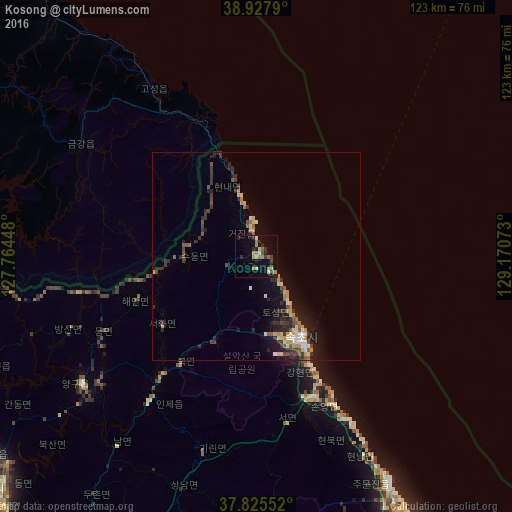
Analysis of Kosong night lights 2016
Square area 10x10 km:
 0%
0%90-99
2.82%80-89
1.06%70-79
3.88%60-69
4.23%50-59
1.41%40-49
1.59%30-39
2.12%20-29
7.41%10-19
11.82%0-9
63.67%Square area 50x50 km:
0.27%90-99
0.63%80-89
0.66%70-79
0.66%60-69
0.58%50-59
0.68%40-49
0.68%30-39
1.23%20-29
1.92%10-19
3.41%0-9
89.27%Clear (daylight) street map image can be seen on geolist.org.
Map coordinates:
38° 55' 40.4" North, 127° 45' 52.1" East
38° 22' 43.7" North, 128° 28' 3.4" East
37° 49' 31.9" North, 129° 10' 14.6" East
Some cities around Kosong sort by population:
• Chuncheon
85.2 km =52.9 mi,  228°
228°
• Gangneung
78.1 km =48.5 mi,  153°
153°
• Sokcho
22 km =13.7 mi, 150°
• Hongch’ŏn
91.8 km =57 mi,  213°
213°
• Yanggu
51.6 km =32.1 mi, 233°
• Hwacheon
73 km =45.4 mi,  245°
245°
• Hoeyang, KP
84.1 km =52.3 mi,  295°
295°
• T’ongch’ŏn-ŭp, KP
81.2 km =50.5 mi,  321°
321°
1840179 (p: 62,446)
Sources (retrieved 2019-11-25):
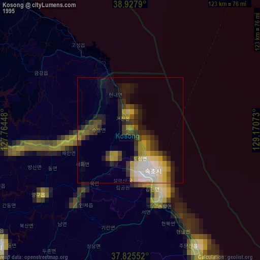
» NASA, Earths city lights 1995
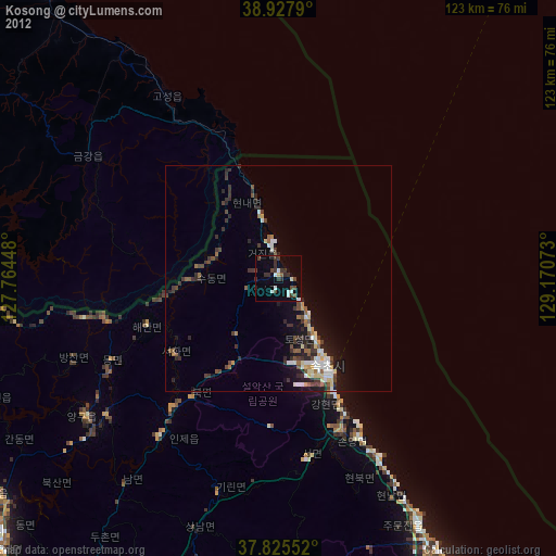
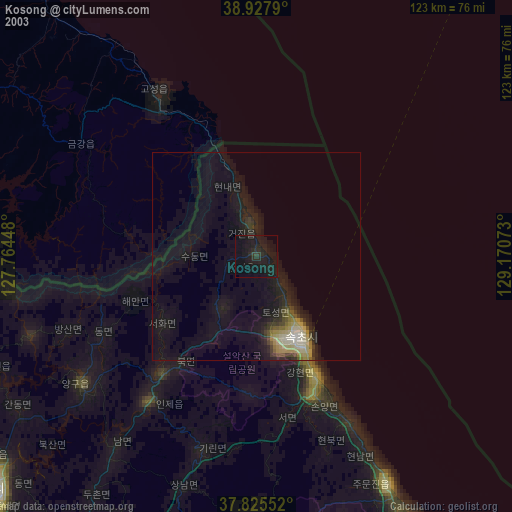
» NASA city lights 2003
» Earth at Night: Flat Maps 2012, 2016