Wŏnsan night lights from space
Night Light of Wŏnsan (Kangwŏn-do) from space (North Korea) Src. Average luminocity for 10x10km area is 2.8766% and for 50x50km: 0.1512%.
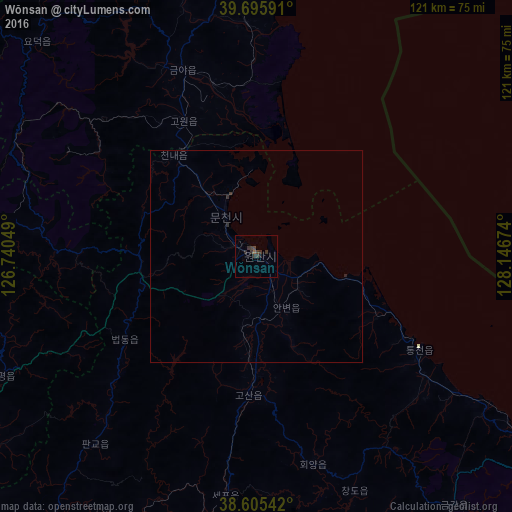

Analysis of Wŏnsan night lights 2016
Square area 10x10 km:
 0%
0%90-99
0%80-89
0%70-79
0%60-69
0.32%50-59
0.32%40-49
0.81%30-39
4.38%20-29
1.3%10-19
0.65%0-9
92.21%Square area 50x50 km:
0%90-99
0%80-89
0%70-79
0%60-69
0.01%50-59
0.01%40-49
0.03%30-39
0.21%20-29
0.13%10-19
0.03%0-9
99.58%Clear (daylight) street map image can be seen on geolist.org.
Map coordinates:
39° 41' 45.3" North, 126° 44' 25.8" East
39° 9' 10" North, 127° 26' 37" East
38° 36' 19.5" North, 128° 8' 48.3" East
Some cities around Wŏnsan sort by population:
• Hŭngnam
77 km =47.8 mi,  11°
11°
• Anbyŏn-ŭp
14.1 km =8.8 mi,  150°
150°
• Kosan
33.1 km =20.6 mi,  183°
183°
• Kowŏn-ŭp
36.1 km =22.4 mi,  331°
331°
• Hoeyang
51 km =31.7 mi,  164°
164°
• T’ongch’ŏn-ŭp
44.6 km =27.7 mi,  119°
119°
• Sinsang-ni
55.4 km =34.4 mi,  356°
356°
• Sangsŏng-ni
48.1 km =29.9 mi,  272°
272°
1866923 (p: 329,207)
Sources (retrieved 2019-11-25):
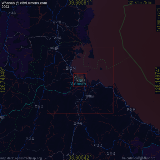
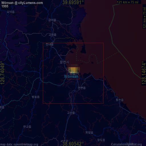
» NASA, Earths city lights 1995
» NASA city lights 2003
» Earth at Night: Flat Maps 2012, 2016