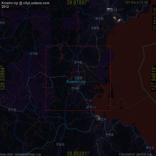
Kowŏn-ŭp night lights from space
Night Light of Kowŏn-ŭp (Hamgyŏng-namdo) from space (North Korea) Src. Average luminocity for 10x10km area is 0% and for 50x50km: 0.0267%.
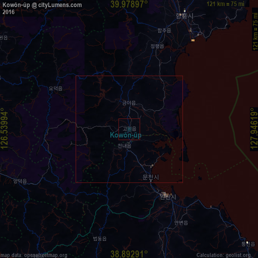
Analysis of Kowŏn-ŭp night lights 2016
Square area 10x10 km:
 0%
0%90-99
0%80-89
0%70-79
0%60-69
0%50-59
0%40-49
0%30-39
0%20-29
0%10-19
0%0-9
100%Square area 50x50 km:
0%90-99
0%80-89
0%70-79
0%60-69
0%50-59
0%40-49
0%30-39
0.03%20-29
0.05%10-19
0%0-9
99.92%Clear (daylight) street map image can be seen on geolist.org.
Map coordinates:
39° 58' 44.3" North, 126° 32' 23.8" East
39° 26' 17" North, 127° 14' 35" East
38° 53' 34.5" North, 127° 56' 46.3" East
Some cities around Kowŏn-ŭp sort by population:
• Hamhŭng
59 km =36.7 mi,  25°
25°
• Hŭngnam
54.3 km =33.7 mi,  36°
36°
• Wŏnsan
36.1 km =22.4 mi,  151°
151°
• Anbyŏn-ŭp
50.2 km =31.2 mi, 151°
• Kosan
66.5 km =41.3 mi,  166°
166°
• Yŏnggwang-ŭp
67 km =41.6 mi,  15°
15°
• Sinsang-ni
27.4 km =17 mi, 30°
• Sangsŏng-ni
42.9 km =26.7 mi,  225°
225°
1875588 (p: 21,490)
Sources (retrieved 2019-11-25):
» Earth at Night: Flat Maps 2012, 2016