Sinŭiju night lights from space
Night Light of Sinŭiju (P'yŏngan-bukto) from space (North Korea) Src. Average luminocity for 10x10km area is 35.4951% and for 50x50km: 6.6899%.
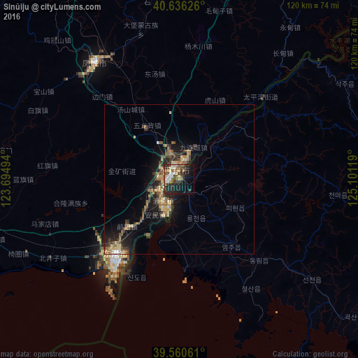
Analysis of Sinŭiju night lights 2016
Square area 10x10 km:
 4.38%
4.38%90-99
5.84%80-89
4.55%70-79
2.76%60-69
3.08%50-59
10.23%40-49
4.22%30-39
8.6%20-29
13.96%10-19
20.78%0-9
21.59%Square area 50x50 km:
0.34%90-99
0.42%80-89
1.36%70-79
0.65%60-69
1.11%50-59
1.52%40-49
0.9%30-39
1.83%20-29
2.03%10-19
4.99%0-9
84.87%Clear (daylight) street map image can be seen on geolist.org.
Map coordinates:
40° 38' 10.5" North, 123° 41' 41.8" East
40° 6' 2" North, 124° 23' 53" East
39° 33' 38.2" North, 125° 6' 4.3" East
Some cities around Sinŭiju sort by population:
• Dandong, CN
3.2 km =2 mi,  354°
354°
• Fengcheng, CN
48 km =29.8 mi,  324°
324°
• Langtoucun, CN
8.5 km =5.3 mi,  218°
218°
• Ŭiju
15.8 km =9.8 mi,  45°
45°
• Kusŏng
73.3 km =45.5 mi,  100°
100°
• Sakchu-ŭp
63.7 km =39.6 mi,  59°
59°
• Kwaksan
74.3 km =46.2 mi,  128°
128°
• Yŏmju-ŭp
28.7 km =17.8 mi,  143°
143°
2040893 (p: 288,112)
Sources (retrieved 2019-11-25):
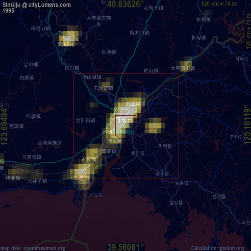
» NASA, Earths city lights 1995
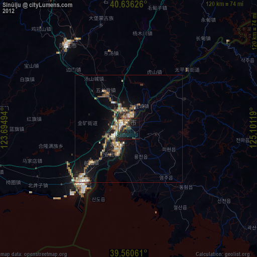
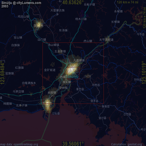
» NASA city lights 2003
» Earth at Night: Flat Maps 2012, 2016