Kusŏng night lights from space
Night Light of Kusŏng (P'yŏngan-bukto) from space (North Korea) Src. Average luminocity for 10x10km area is 0% and for 50x50km: 0.0226%.
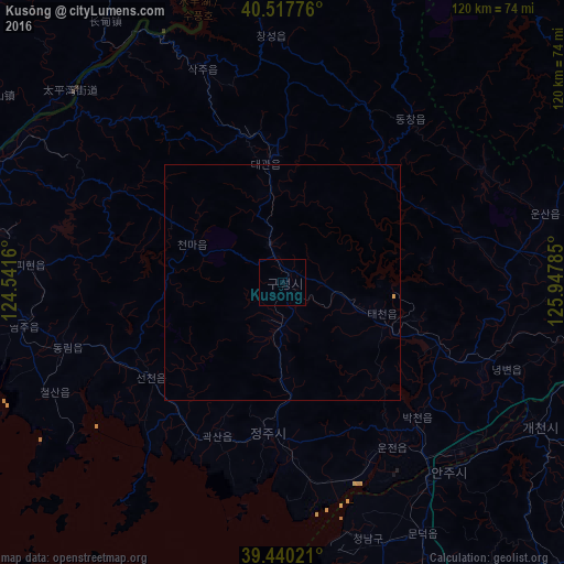
Analysis of Kusŏng night lights 2016
Square area 10x10 km:
 0%
0%90-99
0%80-89
0%70-79
0%60-69
0%50-59
0%40-49
0%30-39
0%20-29
0%10-19
0%0-9
100%Square area 50x50 km:
0%90-99
0%80-89
0%70-79
0.03%60-69
0%50-59
0%40-49
0%30-39
0%20-29
0%10-19
0.03%0-9
99.95%Clear (daylight) street map image can be seen on geolist.org.
Map coordinates:
40° 31' 3.9" North, 124° 32' 29.8" East
39° 58' 52" North, 125° 14' 41" East
39° 26' 24.8" North, 125° 56' 52.3" East
Some cities around Kusŏng sort by population:
• Anju
54 km =33.6 mi,  138°
138°
• Chŏngju
32.1 km =19.9 mi,  185°
185°
• Sakchu-ŭp
48.4 km =30.1 mi,  339°
339°
• Sinanju
52.8 km =32.8 mi, 143°
• Pukchil-lodongjagu
49.4 km =30.7 mi,  60°
60°
• Panghyŏn-dong
10.4 km =6.5 mi,  181°
181°
• Kwaksan
35.5 km =22.1 mi,  202°
202°
• Yŏngbyŏn
51.2 km =31.8 mi,  111°
111°
1875107 (p: 30,902)
Sources (retrieved 2019-11-25):
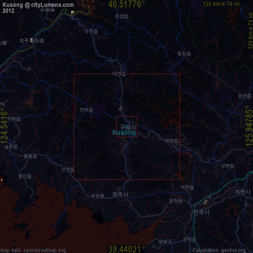
» Earth at Night: Flat Maps 2012, 2016