Kangdong-ŭp night lights from space
Night Light of Kangdong-ŭp (Pyongyang) from space (North Korea) Src. Average luminocity for 10x10km area is 0% and for 50x50km: 0.1496%.
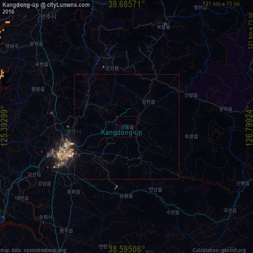
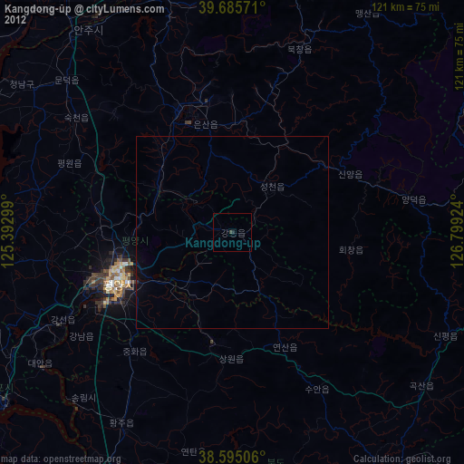
Analysis of Kangdong-ŭp night lights 2016
Square area 10x10 km:
 0%
0%90-99
0%80-89
0%70-79
0%60-69
0%50-59
0%40-49
0%30-39
0%20-29
0%10-19
0%0-9
100%Square area 50x50 km:
0%90-99
0%80-89
0%70-79
0%60-69
0%50-59
0%40-49
0%30-39
0.02%20-29
0.13%10-19
0.29%0-9
99.56%Clear (daylight) street map image can be seen on geolist.org.
Map coordinates:
39° 41' 8.6" North, 125° 23' 34.8" East
39° 8' 33" North, 126° 5' 46" East
38° 35' 42.2" North, 126° 47' 57.3" East
Some cities around Kangdong-ŭp sort by population:
• Pyongyang
31.9 km =19.8 mi,  247°
247°
• Sunch’ŏn
35.1 km =21.8 mi,  336°
336°
• Songnim
58.2 km =36.2 mi,  222°
222°
• P’yŏngsŏng
22.5 km =14 mi,  300°
300°
• Sŭngho 1-tong
19.7 km =12.2 mi,  211°
211°
• Sunan
35.6 km =22.1 mi,  280°
280°
• Hŭkkyo-ri
46.4 km =28.8 mi, 214°
• Chunghwa
40.2 km =25 mi, 219°
1876153 (p: 28,922)
Sources (retrieved 2019-11-25):
» Earth at Night: Flat Maps 2012, 2016