Songnim night lights from space
Night Light of Songnim (Hwanghae-bukto) from space (North Korea) Src. Average luminocity for 10x10km area is 0.1565% and for 50x50km: 0.2119%.
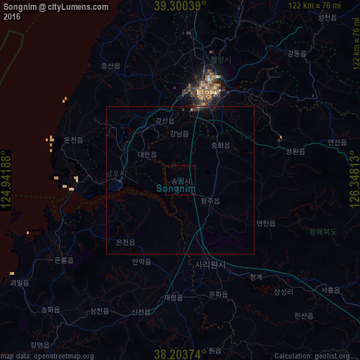
Analysis of Songnim night lights 2016
Square area 10x10 km:
 0%
0%90-99
0%80-89
0%70-79
0%60-69
0%50-59
0%40-49
0%30-39
0%20-29
0%10-19
0.68%0-9
99.32%Square area 50x50 km:
0%90-99
0%80-89
0%70-79
0.04%60-69
0%50-59
0.01%40-49
0.03%30-39
0.13%20-29
0.07%10-19
0.22%0-9
99.51%Clear (daylight) street map image can be seen on geolist.org.
Map coordinates:
39° 18' 1.4" North, 124° 56' 30.8" East
38° 45' 15" North, 125° 38' 42" East
38° 12' 13.5" North, 126° 20' 53.3" East
Some cities around Songnim sort by population:
• Pyongyang
32.5 km =20.2 mi,  16°
16°
• Namp’o
20.7 km =12.9 mi,  264°
264°
• Sariwŏn
29.1 km =18.1 mi,  160°
160°
• Hwangju-ŭp
14.7 km =9.1 mi,  129°
129°
• Hŭkkyo-ri
13.7 km =8.5 mi,  68°
68°
• Anak
30.1 km =18.7 mi,  205°
205°
• Chunghwa
18.1 km =11.2 mi,  47°
47°
• Yonggang-ŭp
22.2 km =13.8 mi,  300°
300°
1869446 (p: 152,425)
Sources (retrieved 2019-11-25):
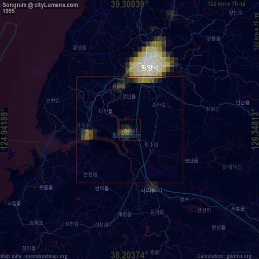
» NASA, Earths city lights 1995
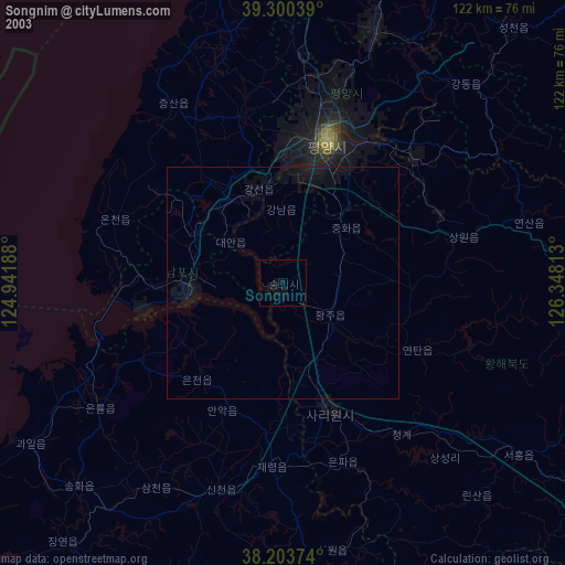
» NASA city lights 2003
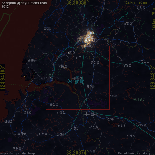
» Earth at Night: Flat Maps 2012, 2016