Sunch’ŏn night lights from space
Night Light of Sunch’ŏn (South Pyongan) from space (North Korea) Src. Average luminocity for 10x10km area is 0.4745% and for 50x50km: 0.0405%.
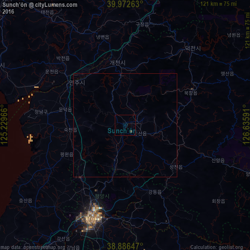
Analysis of Sunch’ŏn night lights 2016
Square area 10x10 km:
 0%
0%90-99
0%80-89
0%70-79
0%60-69
0%50-59
0.68%40-49
0%30-39
0%20-29
0%10-19
0%0-9
99.32%Square area 50x50 km:
0%90-99
0%80-89
0%70-79
0%60-69
0%50-59
0.03%40-49
0%30-39
0.01%20-29
0.01%10-19
0.04%0-9
99.91%Clear (daylight) street map image can be seen on geolist.org.
Map coordinates:
39° 58' 21.5" North, 125° 13' 46.8" East
39° 25' 54" North, 125° 55' 58" East
38° 53' 11.3" North, 126° 38' 9.3" East
Some cities around Sunch’ŏn sort by population:
• Pyongyang
46.8 km =29.1 mi,  199°
199°
• P’yŏngsŏng
21.3 km =13.2 mi,  194°
194°
• Anju
30.9 km =19.2 mi,  311°
311°
• Sunan
33.3 km =20.7 mi,  218°
218°
• Kangdong-ŭp
35.1 km =21.8 mi,  156°
156°
• Sil-li
40 km =24.9 mi,  280°
280°
• Sinanju
33.3 km =20.7 mi,  303°
303°
• Yŏngbyŏn
43.8 km =27.2 mi,  345°
345°
1869012 (p: 437,000)
Sources (retrieved 2019-11-25):
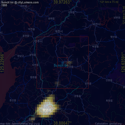
» NASA, Earths city lights 1995
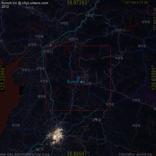
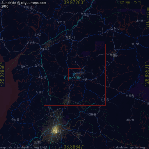
» NASA city lights 2003
» Earth at Night: Flat Maps 2012, 2016