Koksan night lights from space
Night Light of Koksan (Hwanghae-bukto) from space (North Korea) Src. Average luminocity for 10x10km area is 0% and for 50x50km: 0%.
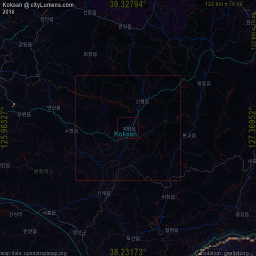
Analysis of Koksan night lights 2016
Square area 10x10 km:
 0%
0%90-99
0%80-89
0%70-79
0%60-69
0%50-59
0%40-49
0%30-39
0%20-29
0%10-19
0%0-9
100%Square area 50x50 km:
0%90-99
0%80-89
0%70-79
0%60-69
0%50-59
0%40-49
0%30-39
0%20-29
0%10-19
0%0-9
100%Clear (daylight) street map image can be seen on geolist.org.
Map coordinates:
39° 19' 40.6" North, 125° 57' 47.8" East
38° 46' 55" North, 126° 39' 59" East
38° 13' 54.2" North, 127° 22' 10.3" East
Some cities around Koksan sort by population:
• Sŭngho 1-tong
64 km =39.8 mi,  291°
291°
• Hwangju-ŭp
78.2 km =48.6 mi,  260°
260°
• Kangdong-ŭp
63.5 km =39.5 mi,  309°
309°
• Hŭkkyo-ri
75.8 km =47.1 mi,  271°
271°
• Kosan
65.6 km =40.8 mi,  82°
82°
• Chunghwa
75.6 km =47 mi,  276°
276°
• Sinmak
55.4 km =34.4 mi,  222°
222°
• Sangsŏng-ni
47.1 km =29.3 mi,  23°
23°
1875790 (p: 12,923)
Sources (retrieved 2019-11-25):
» Earth at Night: Flat Maps 2012, 2016