Andijon night lights from space
Night Light of Andijon from space (Uzbekistan) Src. Average luminocity for 10x10km area is 82.9042% and for 50x50km: 18.2497%.
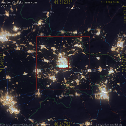
Analysis of Andijon night lights 2016
Square area 10x10 km:
 28.25%
90-99
31.66%80-89
12.66%70-79
3.57%60-69
5.19%50-59
2.76%40-49
6.01%30-39
5.36%20-29
4.55%10-19
0%0-9
0%Square area 50x50 km:
1.86%90-99
2.67%80-89
1.95%70-79
1.52%60-69
1.96%50-59
2.23%40-49
2.77%30-39
3.89%20-29
6.89%10-19
16.54%0-9
57.72%Clear (daylight) street map image can be seen on geolist.org.
Map coordinates:
41° 18' 44.4" North, 71° 38' 28" East
40° 46' 55.4" North, 72° 20' 39.3" East
40° 14' 51.1" North, 73° 2' 50.5" East
Some cities around Andijon sort by population:
• Asaka
18 km =11.2 mi,  209°
209°
• Uchqŭrghon Shahri
43.1 km =26.8 mi,  328°
328°
• Quva
36.9 km =22.9 mi,  218°
218°
• Haqqulobod
24.3 km =15.1 mi,  308°
308°
• Qo‘rg‘ontepa
35.6 km =22.1 mi,  99°
99°
• Xo‘jaobod
22.1 km =13.7 mi,  124°
124°
• Kochkor-Ata, KG
30.7 km =19.1 mi,  22°
22°
• Marhamat
33.6 km =20.9 mi,  184°
184°
1514588 (p: 318,419)
Sources (retrieved 2019-11-25):
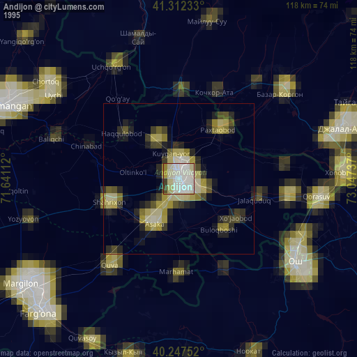
» NASA, Earths city lights 1995
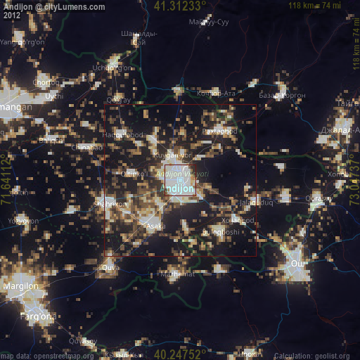
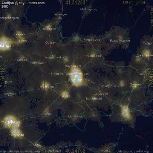
» NASA city lights 2003
» Earth at Night: Flat Maps 2012, 2016