Moyale night lights from space
Night Light of Moyale (Marsabit) from space (Kenya) Src. Average luminocity for 10x10km area is 4.7273% and for 50x50km: 0.1897%.

Analysis of Moyale night lights 2016
Square area 10x10 km:
 0%
0%90-99
0%80-89
0.43%70-79
2.16%60-69
0%50-59
0.87%40-49
1.73%30-39
2.6%20-29
0%10-19
0%0-9
92.21%Square area 50x50 km:
0%90-99
0%80-89
0.02%70-79
0.09%60-69
0%50-59
0.03%40-49
0.07%30-39
0.1%20-29
0%10-19
0%0-9
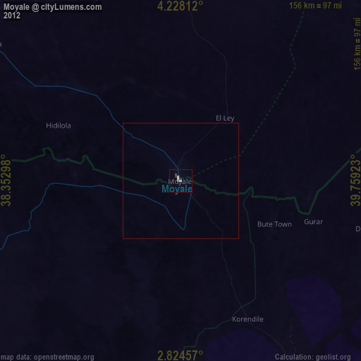
99.69%Clear (daylight) street map image can be seen on geolist.org.
Map coordinates:
4° 13' 41.2" North, 38° 21' 10.7" East
3° 31' 35.8" North, 39° 3' 22" East
2° 49' 28.5" North, 39° 45' 33.2" East
Some cities around Moyale sort by population:
• Wajir
227 km =141.1 mi,  150°
150°
• Shakiso, ET
249.4 km =155 mi,  356°
356°
• Kibre Mengist, ET
262.2 km =162.9 mi, 358°
• Hagere Maryam, ET
251.3 km =156.2 mi,  338°
338°
• Yabēlo, ET
185.5 km =115.3 mi,  324°
324°
• Marsabit
177.6 km =110.4 mi,  221°
221°
• Gīdolē, ET
301.3 km =187.2 mi, 321°
• Mēga, ET
102.1 km =63.4 mi,  304°
304°
186180 (p: 34,314)
Sources (retrieved 2019-11-25):
» Earth at Night: Flat Maps 2012, 2016