Marsabit night lights from space
Night Light of Marsabit from space (Kenya) Src. Average luminocity for 10x10km area is 2.4784% and for 50x50km: 0.0991%.
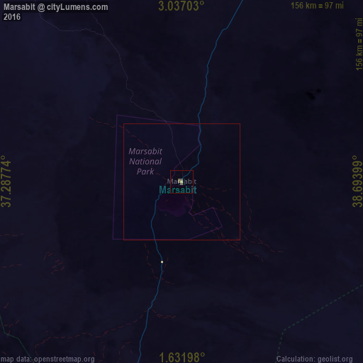
Analysis of Marsabit night lights 2016
Square area 10x10 km:
 0%
0%90-99
0%80-89
0%70-79
0.87%60-69
0%50-59
0.22%40-49
3.25%30-39
0%20-29
0%10-19
0%0-9
95.67%Square area 50x50 km:
0%90-99
0%80-89
0%70-79
0.03%60-69
0%50-59
0.01%40-49
0.13%30-39
0%20-29
0%10-19
0%0-9
99.83%Clear (daylight) street map image can be seen on geolist.org.
Map coordinates:
3° 2' 13.3" North, 37° 17' 15.9" East
2° 20' 4.8" North, 37° 59' 27.1" East
1° 37' 55.1" North, 38° 41' 38.4" East
Some cities around Marsabit sort by population:
• Meru
257.2 km =159.8 mi,  188°
188°
• Wajir
238.7 km =148.3 mi,  105°
105°
• Nanyuki
278.2 km =172.9 mi,  201°
201°
• Moyale
177.6 km =110.4 mi,  41°
41°
• Isiolo
224.8 km =139.7 mi, 191°
• Maralal
199 km =123.7 mi,  226°
226°
• Maua
233.7 km =145.2 mi,  181°
181°
• Mēga, ET
193.8 km =120.4 mi,  10°
10°
187585 (p: 15,361)
Sources (retrieved 2019-11-25):
» Earth at Night: Flat Maps 2012, 2016