Meru night lights from space
Night Light of Meru from space (Kenya) Src. Average luminocity for 10x10km area is 11.342% and for 50x50km: 0.9445%.
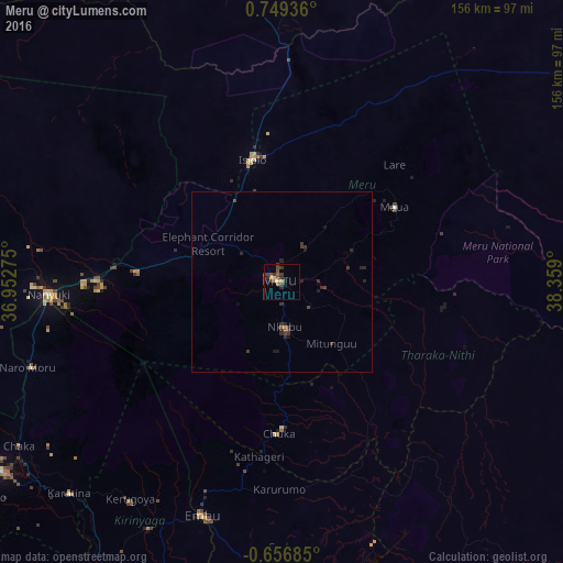
Analysis of Meru night lights 2016
Square area 10x10 km:
100  0%
0%
90-99 0%
80-89 1.73%
70-79 1.52%
60-69 1.73%
50-59 1.3%
40-49 5.63%
30-39 4.55%
20-29 3.03%
10-19 1.73%
0-9 78.79%
0%90-99
0%80-89
1.73%70-79
1.52%60-69
1.73%50-59
1.3%40-49
5.63%30-39
4.55%20-29
3.03%10-19
1.73%0-9
78.79%Square area 50x50 km:
100 0%
90-99 0%
80-89 0.07%
70-79 0.1%
60-69 0.1%
50-59 0.09%
40-49 0.35%
30-39 0.55%
20-29 0.61%
10-19 0.28%
0-9 97.85%
0%90-99
0%80-89
0.07%70-79
0.1%60-69
0.1%50-59
0.09%40-49
0.35%30-39
0.55%20-29
0.61%10-19
0.28%0-9
97.85%Clear (daylight) street map image can be seen on geolist.org.
Map coordinates:
0° 44' 57.7" North, 36° 57' 9.9" East
0° 2' 46.5" North, 37° 39' 21.1" East
0° 39' 24.7" South, 38° 21' 32.4" East
Some cities around Meru sort by population:
• Nanyuki
64.9 km =40.3 mi,  266°
266°
• Embu
68.8 km =42.8 mi,  198°
198°
• Isiolo
35.3 km =21.9 mi,  346°
346°
• Kerugoya
73.6 km =45.7 mi,  214°
214°
• Maua
37.9 km =23.5 mi,  56°
56°
• Chuka
42.2 km =26.2 mi,  181°
181°
• Naro Moru
74.7 km =46.4 mi,  251°
251°
• Kathwana
48.2 km =30 mi,  150°
150°
186827 (p: 47,226)
Sources (retrieved 2019-11-25):
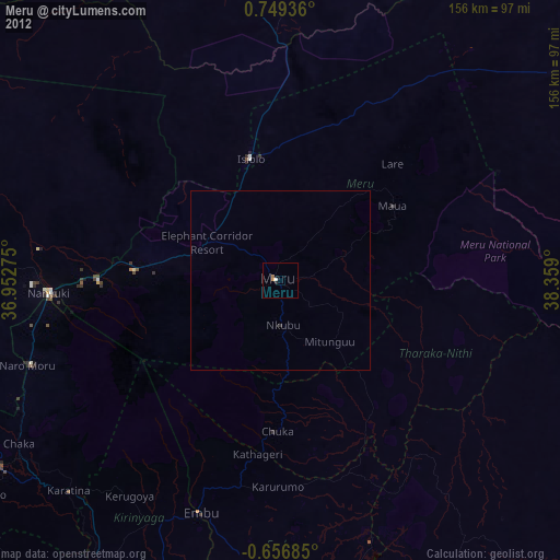
» Earth at Night: Flat Maps 2012, 2016