Maua night lights from space
Night Light of Maua (Meru) from space (Kenya) Src. Average luminocity for 10x10km area is 2.3442% and for 50x50km: 0.2505%.
Analysis of Maua night lights 2016
Square area 10x10 km:
100  0%
0%
90-99 0.87%
80-89 0%
70-79 0%
60-69 0%
50-59 0%
40-49 2.16%
30-39 0.43%
20-29 0.22%
10-19 0.65%
0-9 95.67%
0%90-99
0.87%80-89
0%70-79
0%60-69
0%50-59
0%40-49
2.16%30-39
0.43%20-29
0.22%10-19
0.65%0-9
95.67%Square area 50x50 km:
100 0%
90-99 0.03%
80-89 0%
70-79 0%
60-69 0%
50-59 0%
40-49 0.12%
30-39 0.12%
20-29 0.29%
10-19 0.13%
0-9 99.31%
0%90-99
0.03%80-89
0%70-79
0%60-69
0%50-59
0%40-49
0.12%30-39
0.12%20-29
0.29%10-19
0.13%0-9
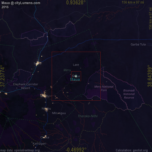
99.31%Clear (daylight) street map image can be seen on geolist.org.
Map coordinates:
0° 56' 10.6" North, 37° 14' 15.9" East
0° 13' 59.5" North, 37° 56' 27.1" East
0° 28' 11.7" South, 38° 38' 38.4" East
Some cities around Maua sort by population:
• Meru
37.9 km =23.5 mi,  236°
236°
• Nanyuki
99.6 km =61.9 mi,  255°
255°
• Embu
101.4 km =63 mi,  212°
212°
• Isiolo
42.1 km =26.2 mi,  288°
288°
• Kerugoya
109.6 km =68.1 mi,  222°
222°
• Chuka
71 km =44.1 mi, 207°
• Naro Moru
111.7 km =69.4 mi,  246°
246°
• Kathwana
63.3 km =39.3 mi,  187°
187°
187231 (p: 10,804)
Sources (retrieved 2019-11-25):
» Earth at Night: Flat Maps 2012, 2016