Chuka night lights from space
Night Light of Chuka (Tharaka - Nithi) from space (Kenya) Src. Average luminocity for 10x10km area is 3.3052% and for 50x50km: 0.5402%.
Analysis of Chuka night lights 2016
Square area 10x10 km:
 0%
0%90-99
0%80-89
1.73%70-79
0%60-69
1.73%50-59
0%40-49
0%30-39
0.87%20-29
0.43%10-19
0.87%0-9
94.37%Square area 50x50 km:
0%90-99
0%80-89
0.1%70-79
0.08%60-69
0.1%50-59
0.1%40-49
0.26%30-39
0.16%20-29
0.09%10-19
0.21%0-9
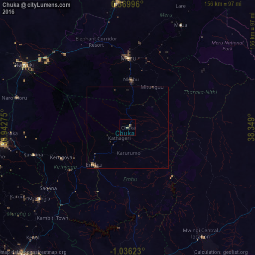
98.91%Clear (daylight) street map image can be seen on geolist.org.
Map coordinates:
0° 22' 11.9" North, 36° 56' 33.9" East
0° 19' 59.4" South, 37° 38' 45.1" East
1° 2' 10.4" South, 38° 20' 56.4" East
Some cities around Chuka sort by population:
• Meru
42.2 km =26.2 mi,  1°
1°
• Embu
31.1 km =19.3 mi,  222°
222°
• Karuri
65.6 km =40.8 mi,  231°
231°
• Kerugoya
44.6 km =27.7 mi,  245°
245°
• Murang’a
69.8 km =43.4 mi, 231°
• Maua
71 km =44.1 mi,  27°
27°
• Naro Moru
72.3 km =44.9 mi,  285°
285°
• Kathwana
24.8 km =15.4 mi,  89°
89°
199284 (p: 9,347)
Sources (retrieved 2019-11-25):
» Earth at Night: Flat Maps 2012, 2016