Naro Moru night lights from space
Night Light of Naro Moru (Nyeri) from space (Kenya) Src. Average luminocity for 10x10km area is 2.4372% and for 50x50km: 2.0887%.
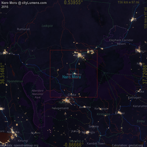
Analysis of Naro Moru night lights 2016
Square area 10x10 km:
 0%
0%90-99
0%80-89
0.87%70-79
0%60-69
0%50-59
0.87%40-49
1.73%30-39
0%20-29
0%10-19
0.87%0-9
95.67%Square area 50x50 km:
0.02%90-99
0.03%80-89
0.41%70-79
0.63%60-69
0.25%50-59
0.26%40-49
0.58%30-39
0.25%20-29
0.12%10-19
0.76%0-9
96.69%Clear (daylight) street map image can be seen on geolist.org.
Map coordinates:
0° 32' 22.4" North, 36° 18' 52.6" East
0° 9' 48.9" South, 37° 1' 3.8" East
0° 51' 60" South, 37° 43' 15.1" East
Some cities around Naro Moru sort by population:
• Nyeri
29.6 km =18.4 mi,  195°
195°
• Ol Kalou
72 km =44.7 mi,  260°
260°
• Nanyuki
19.9 km =12.4 mi,  18°
18°
• Embu
64.3 km =40 mi,  130°
130°
• Karuri
62.4 km =38.8 mi,  162°
162°
• Kerugoya
47.4 km =29.5 mi,  141°
141°
• Murang’a
63.8 km =39.6 mi,  166°
166°
• Rumuruti
72.1 km =44.8 mi,  312°
312°
184367 (p: 9,018)
Sources (retrieved 2019-11-25):
» Earth at Night: Flat Maps 2012, 2016