Kathwana night lights from space
Night Light of Kathwana (Tharaka - Nithi) from space (Kenya) Src. Average luminocity for 10x10km area is 0% and for 50x50km: 0.1224%.
Analysis of Kathwana night lights 2016
Square area 10x10 km:
100  0%
0%
90-99 0%
80-89 0%
70-79 0%
60-69 0%
50-59 0%
40-49 0%
30-39 0%
20-29 0%
10-19 0%
0-9 100%
0%90-99
0%80-89
0%70-79
0%60-69
0%50-59
0%40-49
0%30-39
0%20-29
0%10-19
0%0-9
100%Square area 50x50 km:
100 0%
90-99 0%
80-89 0.03%
70-79 0%
60-69 0.07%
50-59 0%
40-49 0%
30-39 0.05%
20-29 0.03%
10-19 0.1%
0-9 99.71%
0%90-99
0%80-89
0.03%70-79
0%60-69
0.07%50-59
0%40-49
0%30-39
0.05%20-29
0.03%10-19
0.1%0-9
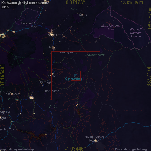
99.71%Clear (daylight) street map image can be seen on geolist.org.
Map coordinates:
0° 22' 18.2" North, 37° 9' 55.8" East
0° 19' 53" South, 37° 52' 7" East
1° 2' 4.1" South, 38° 34' 18.3" East
Some cities around Kathwana sort by population:
• Meru
48.2 km =30 mi,  330°
330°
• Embu
51.3 km =31.9 mi,  243°
243°
• Isiolo
82.7 km =51.4 mi,  337°
337°
• Karuri
86.5 km =53.7 mi, 241°
• Kerugoya
68 km =42.3 mi,  254°
254°
• Mwingi
70.5 km =43.8 mi,  162°
162°
• Maua
63.3 km =39.3 mi,  7°
7°
• Chuka
24.8 km =15.4 mi,  269°
269°
11764747 (p: 0)
Sources (retrieved 2019-11-25):
» Earth at Night: Flat Maps 2012, 2016