Zama night lights from space
Night Light of Zama (Kanagawa) from space (Japan) Src. Average luminocity for 10x10km area is 92.4432% and for 50x50km: 65.6796%.
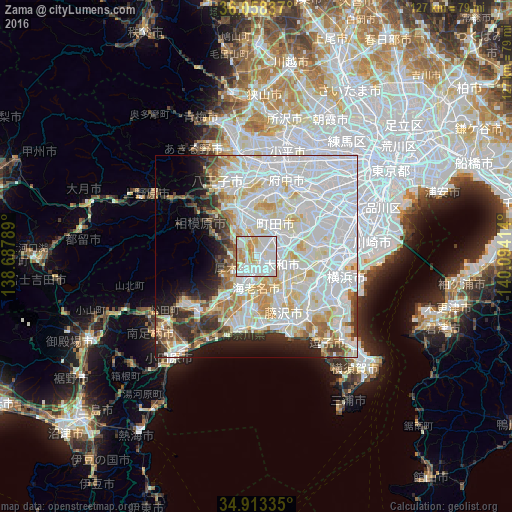
Analysis of Zama night lights 2016
Square area 10x10 km:
 35.71%
90-99
34.43%80-89
11.9%70-79
12.45%60-69
5.49%50-59
0%40-49
0%30-39
0%20-29
0%10-19
0%0-9
0%Square area 50x50 km:
27.96%90-99
18.63%80-89
7.67%70-79
5.09%60-69
4.3%50-59
2.73%40-49
3.05%30-39
3.43%20-29
5.29%10-19
6.08%0-9
15.76%Clear (daylight) street map image can be seen on geolist.org.
Map coordinates:
36° 3' 30.1" North, 138° 41' 16.4" East
35° 29' 16.4" North, 139° 23' 27.6" East
34° 54' 48.1" North, 140° 5' 38.9" East
Some cities around Zama sort by population:
• Hachiōji
19.6 km =12.2 mi,  341°
341°
• Machida
8 km =5 mi,  42°
42°
• Fujisawa
17.3 km =10.7 mi,  153°
153°
• Hiratsuka
18.4 km =11.4 mi,  195°
195°
• Chigasaki
16.9 km =10.5 mi,  175°
175°
• Atsugi
5.4 km =3.4 mi, 201°
• Minamirinkan
4.8 km =3 mi,  80°
80°
• Isehara
12.3 km =7.6 mi,  216°
216°
1848004 (p: 134,671)
Sources (retrieved 2019-11-25):
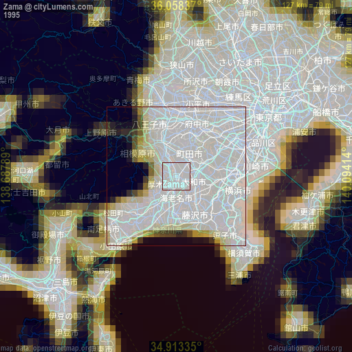
» NASA, Earths city lights 1995
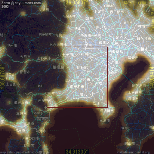
» NASA city lights 2003
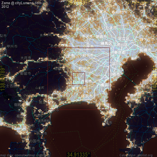
» Earth at Night: Flat Maps 2012, 2016