Atsugi night lights from space
Night Light of Atsugi (Kanagawa) from space (Japan) Src. Average luminocity for 10x10km area is 88.5824% and for 50x50km: 57.4077%.
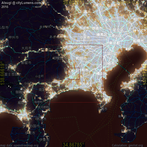
Analysis of Atsugi night lights 2016
Square area 10x10 km:
 28.21%
90-99
30.59%80-89
13.55%70-79
15.02%60-69
9.71%50-59
2.01%40-49
0.92%30-39
0%20-29
0%10-19
0%0-9
0%Square area 50x50 km:
21.22%90-99
16.88%80-89
7.42%70-79
5.14%60-69
4.13%50-59
2.64%40-49
3.09%30-39
3.56%20-29
5.71%10-19
7.82%0-9
22.38%Clear (daylight) street map image can be seen on geolist.org.
Map coordinates:
36° 0' 48.6" North, 138° 39' 58.3" East
35° 26' 33.8" North, 139° 22' 9.5" East
34° 52' 4.3" North, 140° 4' 20.8" East
Some cities around Atsugi sort by population:
• Machida
13.1 km =8.1 mi,  34°
34°
• Fujisawa
14.2 km =8.8 mi,  136°
136°
• Hiratsuka
13.1 km =8.1 mi,  192°
192°
• Chigasaki
12.2 km =7.6 mi,  164°
164°
• Minamirinkan
8.9 km =5.5 mi,  48°
48°
• Zama
5.4 km =3.4 mi,  21°
21°
• Isehara
7.2 km =4.5 mi,  227°
227°
• Ōiso
14.9 km =9.3 mi,  198°
198°
1847963 (p: 229,199)
Sources (retrieved 2019-11-25):
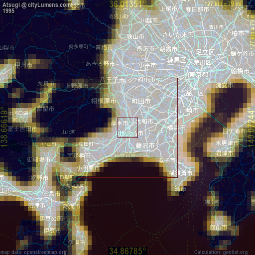
» NASA, Earths city lights 1995
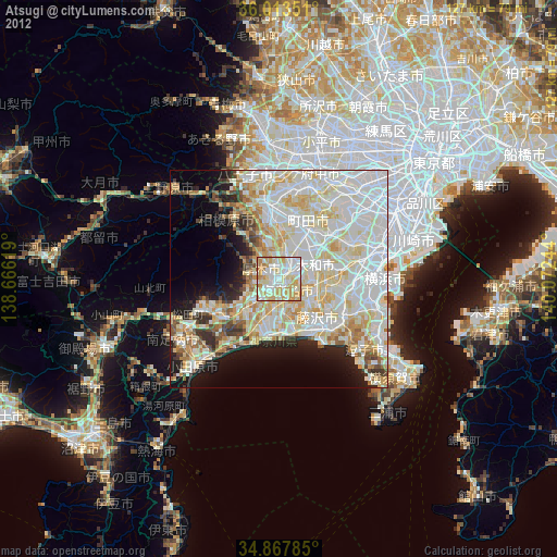
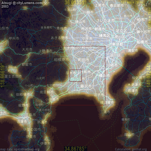
» NASA city lights 2003
» Earth at Night: Flat Maps 2012, 2016