Hiratsuka night lights from space
Night Light of Hiratsuka (Kanagawa) from space (Japan) Src. Average luminocity for 10x10km area is 64.0403% and for 50x50km: 37.4429%.
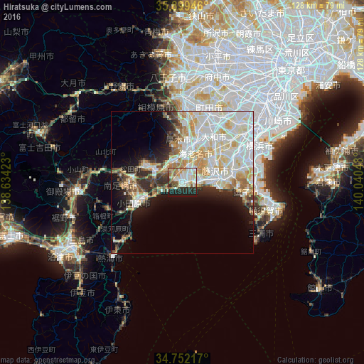
Analysis of Hiratsuka night lights 2016
Square area 10x10 km:
 15.2%
15.2%90-99
19.41%80-89
10.44%70-79
6.23%60-69
5.86%50-59
6.04%40-49
5.31%30-39
5.13%20-29
15.02%10-19
11.36%0-9
0%Square area 50x50 km:
10.49%90-99
11.21%80-89
5.18%70-79
4.13%60-69
3.6%50-59
2.22%40-49
2.65%30-39
2.68%20-29
5.05%10-19
7.97%0-9
44.81%Clear (daylight) street map image can be seen on geolist.org.
Map coordinates:
35° 53' 58.1" North, 138° 38' 3.2" East
35° 19' 40.3" North, 139° 20' 14.5" East
34° 45' 7.8" North, 140° 2' 25.7" East
Some cities around Hiratsuka sort by population:
• Fujisawa
12.9 km =8 mi,  79°
79°
• Chigasaki
6.2 km =3.9 mi, 81°
• Atsugi
13.1 km =8.1 mi,  12°
12°
• Odawara
18 km =11.2 mi,  243°
243°
• Hadano
11.4 km =7.1 mi,  295°
295°
• Isehara
8.3 km =5.2 mi,  342°
342°
• Ōiso
2.4 km =1.5 mi,  234°
234°
• Ninomiya
8 km =5 mi,  248°
248°
1862462 (p: 259,052)
Sources (retrieved 2019-11-25):
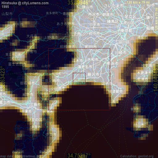
» NASA, Earths city lights 1995
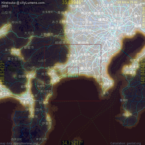
» NASA city lights 2003
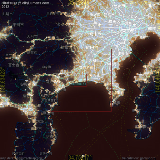
» Earth at Night: Flat Maps 2012, 2016