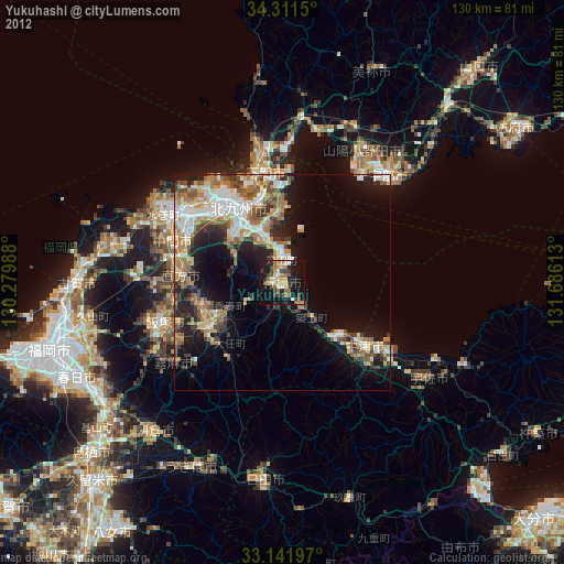
Yukuhashi night lights from space
Night Light of Yukuhashi (Fukuoka) from space (Japan) Src. Average luminocity for 10x10km area is 32.1777% and for 50x50km: 20.6957%.


Analysis of Yukuhashi night lights 2016
Square area 10x10 km:
 1.65%
1.65%90-99
3.11%80-89
3.11%70-79
2.01%60-69
8.42%50-59
9.16%40-49
4.03%30-39
7.88%20-29
10.07%10-19
38.64%0-9
11.9%Square area 50x50 km:
2.59%90-99
3.35%80-89
2.63%70-79
2.19%60-69
3.66%50-59
4.09%40-49
2.65%30-39
4.04%20-29
5.78%10-19
11.19%0-9
57.83%Clear (daylight) street map image can be seen on geolist.org.
Map coordinates:
34° 18' 41.4" North, 130° 16' 47.6" East
33° 43' 43.4" North, 130° 58' 58.8" East
33° 8' 31.1" North, 131° 41' 10.1" East
Some cities around Yukuhashi sort by population:
• Kitakyushu
18.4 km =11.4 mi,  318°
318°
• Tagawa
20 km =12.4 mi,  237°
237°
• Kanda
6.1 km =3.8 mi,  0°
0°
• Buzen
18.8 km =11.7 mi,  133°
133°
• Kawasaki
21.1 km =13.1 mi,  227°
227°
• Shiida
10.9 km =6.8 mi,  140°
140°
• Tsuiki
8 km =5 mi, 140°
• Yoshitomi
22.7 km =14.1 mi, 128°
1848087 (p: 71,277)
Sources (retrieved 2019-11-25):
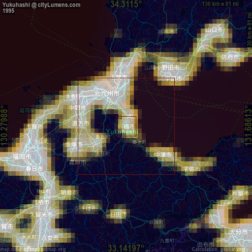
» NASA, Earths city lights 1995
» NASA city lights 2003
» Earth at Night: Flat Maps 2012, 2016