Buzen night lights from space
Night Light of Buzen (Fukuoka) from space (Japan) Src. Average luminocity for 10x10km area is 22.1557% and for 50x50km: 6.7516%.
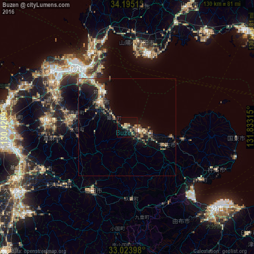
Analysis of Buzen night lights 2016
Square area 10x10 km:
 0%
0%90-99
1.1%80-89
5.31%70-79
3.48%60-69
2.56%50-59
5.68%40-49
2.75%30-39
2.56%20-29
6.78%10-19
21.79%0-9
47.99%Square area 50x50 km:
0.23%90-99
0.59%80-89
0.97%70-79
0.74%60-69
1.41%50-59
1.47%40-49
0.86%30-39
1.18%20-29
2.38%10-19
5.21%0-9
84.96%Clear (daylight) street map image can be seen on geolist.org.
Map coordinates:
34° 11' 42.4" North, 130° 25' 36.8" East
33° 36' 41.5" North, 131° 7' 48.1" East
33° 1' 26.3" North, 131° 49' 59.3" East
Some cities around Buzen sort by population:
• Yukuhashi
18.8 km =11.7 mi,  313°
313°
• Nakatsu
5.6 km =3.5 mi,  105°
105°
• Kanda
23.4 km =14.5 mi,  324°
324°
• Bungo-Takada-shi
29.8 km =18.5 mi,  101°
101°
• Kawasaki
29.2 km =18.1 mi,  267°
267°
• Shiida
8.1 km =5 mi,  304°
304°
• Tsuiki
10.9 km =6.8 mi, 308°
• Yoshitomi
4.4 km =2.7 mi, 103°
8198709 (p: 26,886)
Sources (retrieved 2019-11-25):
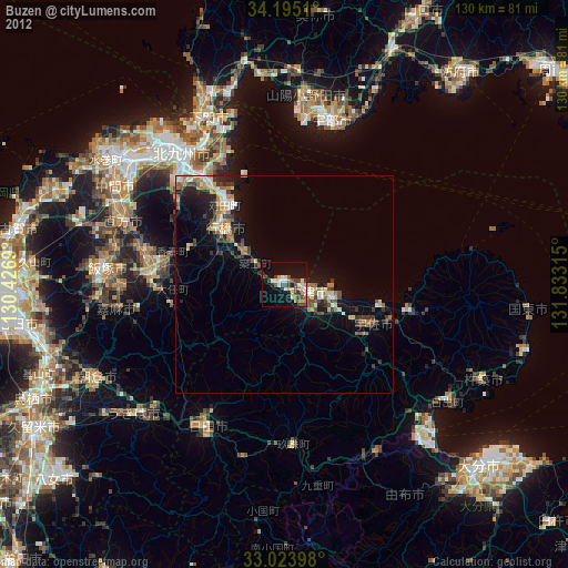
» Earth at Night: Flat Maps 2012, 2016