Kitakyushu night lights from space
Night Light of Kitakyushu (Fukuoka) from space (Japan) Src. Average luminocity for 10x10km area is 70.3462% and for 50x50km: 25.3725%.
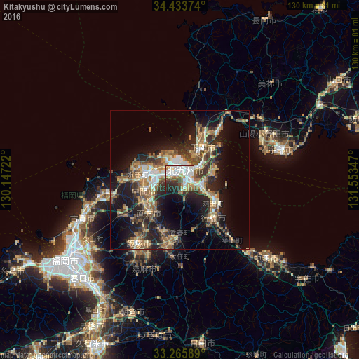

Analysis of Kitakyushu night lights 2016
Square area 10x10 km:
 21.68%
90-99
22.73%80-89
6.29%70-79
6.99%60-69
6.64%50-59
5.59%40-49
4.37%30-39
9.44%20-29
10.84%10-19
5.42%0-9
0%Square area 50x50 km:
2.71%90-99
3.82%80-89
3.02%70-79
3.18%60-69
4.72%50-59
5.57%40-49
3.08%30-39
4.83%20-29
7.78%10-19
15.02%0-9
46.27%Clear (daylight) street map image can be seen on geolist.org.
Map coordinates:
34° 26' 1.5" North, 130° 8' 50" East
33° 51' 6.5" North, 130° 51' 1.2" East
33° 15' 57.2" North, 131° 33' 12.5" East
Some cities around Kitakyushu sort by population:
• Shimonoseki
14.3 km =8.9 mi,  40°
40°
• Yukuhashi
18.4 km =11.4 mi,  138°
138°
• Nōgata
17.1 km =10.6 mi,  223°
223°
• Tagawa
24.7 km =15.3 mi,  190°
190°
• Nakama
13.6 km =8.5 mi,  253°
253°
• Kanda
14.5 km =9 mi,  121°
121°
• Miyata
24.2 km =15 mi,  228°
228°
• Tsuiki
26.4 km =16.4 mi, 138°
1859307 (p: 997,536)
Sources (retrieved 2019-11-25):
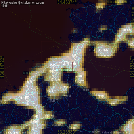
» NASA, Earths city lights 1995
» NASA city lights 2003
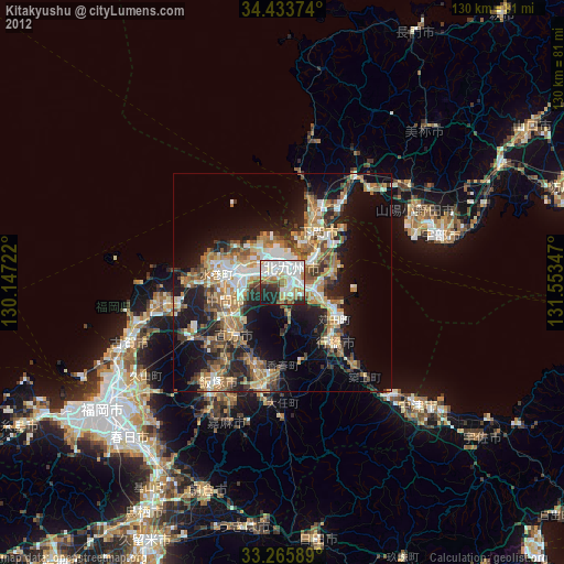
» Earth at Night: Flat Maps 2012, 2016