Shiroi night lights from space
Night Light of Shiroi (Chiba) from space (Japan) Src. Average luminocity for 10x10km area is 68.5105% and for 50x50km: 59.5237%.
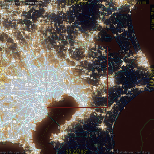
Analysis of Shiroi night lights 2016
Square area 10x10 km:
 6.12%
6.12%90-99
15.56%80-89
6.64%70-79
18.01%60-69
21.85%50-59
13.29%40-49
8.57%30-39
7.34%20-29
2.62%10-19
0%0-9
0%Square area 50x50 km:
18.79%90-99
13.82%80-89
5.58%70-79
5.49%60-69
6.93%50-59
6.45%40-49
7.33%30-39
8.49%20-29
11.35%10-19
9.25%0-9
6.52%Clear (daylight) street map image can be seen on geolist.org.
Map coordinates:
36° 22' 5.6" North, 139° 21' 48.8" East
35° 48' 0" North, 140° 4' 0" East
35° 13' 39.6" North, 140° 46' 11.3" East
Some cities around Shiroi sort by population:
• Honchō
13.1 km =8.1 mi,  213°
213°
• Matsudo
15.1 km =9.4 mi,  261°
261°
• Kashiwa
10.6 km =6.6 mi,  310°
310°
• Abiko
8.7 km =5.4 mi,  328°
328°
• Ryūgasaki
15.3 km =9.5 mi,  43°
43°
• Toride
11.2 km =7 mi,  7°
7°
• Moriya
16 km =9.9 mi,  337°
337°
• Fujishiro
13.7 km =8.5 mi,  19°
19°
2111018 (p: 55,314)
Sources (retrieved 2019-11-25):
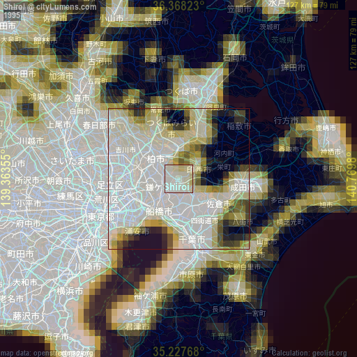
» NASA, Earths city lights 1995
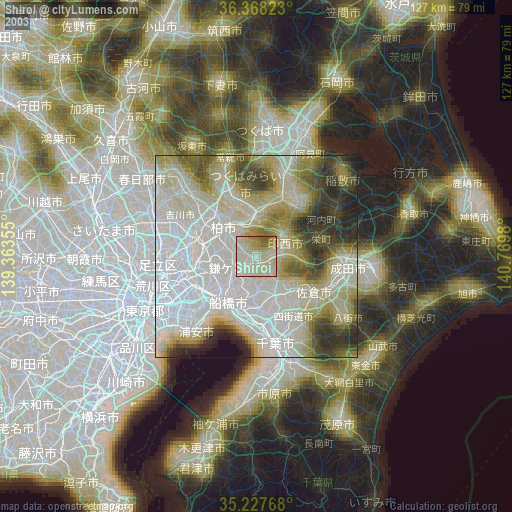
» NASA city lights 2003
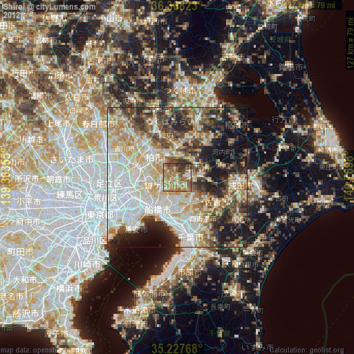
» Earth at Night: Flat Maps 2012, 2016