Akita night lights from space
Night Light of Akita from space (Japan) Src. Average luminocity for 10x10km area is 60.5844% and for 50x50km: 5.4419%.
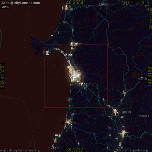
Analysis of Akita night lights 2016
Square area 10x10 km:
 11.69%
90-99
14.12%80-89
5.36%70-79
7.63%60-69
14.77%50-59
10.06%40-49
7.63%30-39
8.6%20-29
8.12%10-19
11.69%0-9
0.32%Square area 50x50 km:
0.62%90-99
0.8%80-89
0.45%70-79
0.54%60-69
0.96%50-59
0.84%40-49
0.87%30-39
0.85%20-29
1.71%10-19
3.82%0-9
88.53%Clear (daylight) street map image can be seen on geolist.org.
Map coordinates:
40° 15' 19.4" North, 139° 24' 48.8" East
39° 43' 0" North, 140° 7' 0" East
39° 10' 25.3" North, 140° 49' 11.3" East
Some cities around Akita sort by population:
• Ōdate
72.3 km =44.9 mi,  31°
31°
• Noshiro
55.2 km =34.3 mi,  352°
352°
• Yokote
58 km =36 mi,  140°
140°
• Ōmagari
43.2 km =26.8 mi,  133°
133°
• Yuzawa
69.4 km =43.1 mi,  151°
151°
• Tennō
24.1 km =15 mi,  327°
327°
• Takanosu
60.1 km =37.3 mi,  20°
20°
• Kakunodatemachi
41.1 km =25.5 mi,  110°
110°
2113126 (p: 320,069)
Sources (retrieved 2019-11-25):
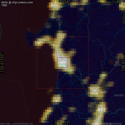
» NASA, Earths city lights 1995
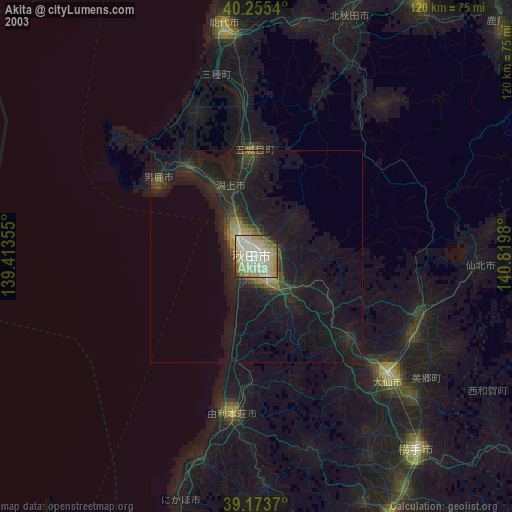
» NASA city lights 2003
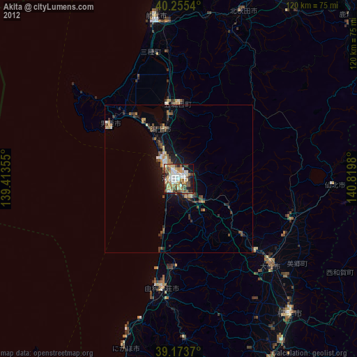
» Earth at Night: Flat Maps 2012, 2016