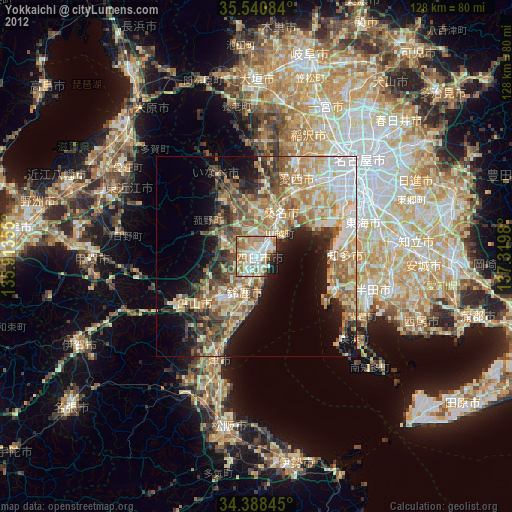
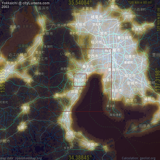
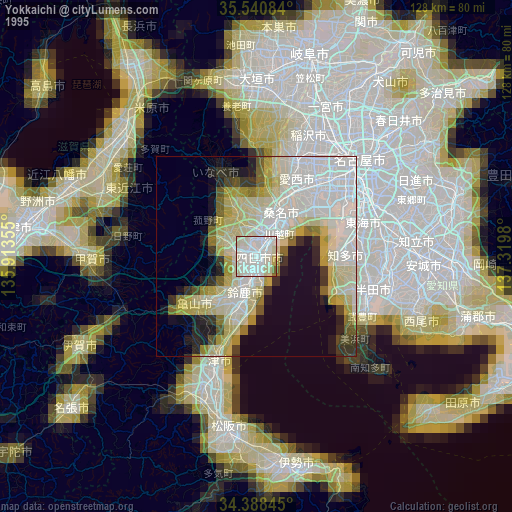
Yokkaichi night lights from space
Night Light of Yokkaichi (Mie) from space (Japan) Src. Average luminocity for 10x10km area is 74.0604% and for 50x50km: 31.043%.

Analysis of Yokkaichi night lights 2016
Square area 10x10 km:
 20.33%
90-99
20.88%80-89
7.14%70-79
6.78%60-69
14.84%50-59
11.17%40-49
9.16%30-39
3.48%20-29
5.31%10-19
0.92%0-9
0%Square area 50x50 km:
5.29%90-99
5.21%80-89
3.77%70-79
3.71%60-69
5.51%50-59
5.75%40-49
5.33%30-39
5%20-29
7.54%10-19
10.22%0-9
42.65%Clear (daylight) street map image can be seen on geolist.org.
Map coordinates:
35° 32' 27" North, 135° 54' 48.8" East
34° 58' 0" North, 136° 37' 0" East
34° 23' 18.4" North, 137° 19' 11.3" East
Some cities around Yokkaichi sort by population:
• Suzuka
9.8 km =6.1 mi,  198°
198°
• Kuwana
10.6 km =6.6 mi,  26°
26°
• Tsushima
24 km =14.9 mi,  22°
22°
• Tokoname
23.2 km =14.4 mi,  113°
113°
• Komono
9.8 km =6.1 mi,  292°
292°
• Kameyama
20 km =12.4 mi,  229°
229°
• Kanie
24.9 km =15.5 mi,  42°
42°
• Kawage
19.1 km =11.9 mi, 199°
1848373 (p: 295,841)
Sources (retrieved 2019-11-25):
» NASA, Earths city lights 1995
» NASA city lights 2003
» Earth at Night: Flat Maps 2012, 2016