Kuwana night lights from space
Night Light of Kuwana (Mie) from space (Japan) Src. Average luminocity for 10x10km area is 64.1259% and for 50x50km: 43.8423%.
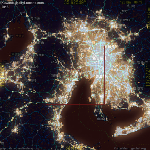
Analysis of Kuwana night lights 2016
Square area 10x10 km:
 6.64%
6.64%90-99
12.76%80-89
8.22%70-79
12.41%60-69
16.08%50-59
15.21%40-49
12.94%30-39
10.14%20-29
5.24%10-19
0.35%0-9
0%Square area 50x50 km:
10.9%90-99
8.52%80-89
5.28%70-79
5.16%60-69
7.39%50-59
6.96%40-49
5.84%30-39
4.9%20-29
7.32%10-19
8.8%0-9
28.92%Clear (daylight) street map image can be seen on geolist.org.
Map coordinates:
35° 37' 31.8" North, 135° 57' 59.3" East
35° 3' 6.9" North, 136° 40' 10.5" East
34° 28' 27.5" North, 137° 22' 21.8" East
Some cities around Kuwana sort by population:
• Yokkaichi
10.6 km =6.6 mi,  206°
206°
• Suzuka
20.3 km =12.6 mi,  202°
202°
• Inazawa
24.3 km =15.1 mi,  25°
25°
• Tsushima
13.5 km =8.4 mi,  18°
18°
• Tokoname
24.9 km =15.5 mi,  138°
138°
• Komono
15.1 km =9.4 mi,  247°
247°
• Kanie
14.9 km =9.3 mi,  52°
52°
• Sobue
22.4 km =13.9 mi,  10°
10°
11468429 (p: 140,051)
Sources (retrieved 2019-11-25):
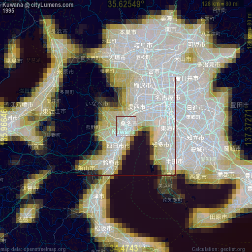
» NASA, Earths city lights 1995
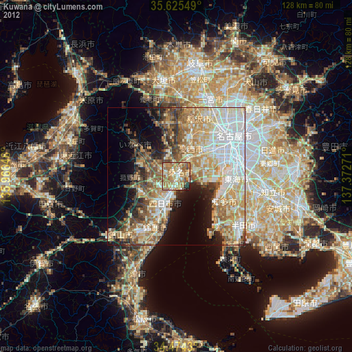
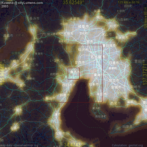
» NASA city lights 2003
» Earth at Night: Flat Maps 2012, 2016