Kawage night lights from space
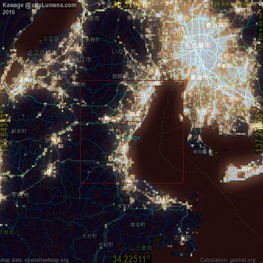
Night Light of Kawage (Mie) from space (Japan) Src. Average luminocity for 10x10km area is 40.5861% and for 50x50km: 17.6129%.
Analysis of Kawage night lights 2016
Square area 10x10 km:
 2.56%
2.56%90-99
2.93%80-89
8.06%70-79
3.48%60-69
6.78%50-59
7.88%40-49
7.69%30-39
19.23%20-29
18.68%10-19
16.3%0-9
6.41%Square area 50x50 km:
1.67%90-99
2.26%80-89
2.72%70-79
2.43%60-69
2.85%50-59
2.85%40-49
3.05%30-39
3.36%20-29
6.65%10-19
10.24%0-9
61.92%Clear (daylight) street map image can be seen on geolist.org.
Map coordinates:
35° 22' 47.2" North, 135° 50' 36" East
34° 48' 16.1" North, 136° 32' 47.2" East
34° 13' 30.4" North, 137° 14' 58.5" East
Some cities around Kawage sort by population:
• Yokkaichi
19.1 km =11.9 mi,  19°
19°
• Suzuka
9.4 km =5.8 mi, 20°
• Tsu
8.4 km =5.2 mi,  198°
198°
• Kuwana
29.7 km =18.5 mi, 22°
• Tokoname
29.1 km =18.1 mi,  72°
72°
• Hisai-motomachi
17 km =10.6 mi,  205°
205°
• Komono
21.9 km =13.6 mi,  352°
352°
• Kameyama
10.2 km =6.3 mi,  299°
299°
6696932 (p: 17,948)
Sources (retrieved 2019-11-25):
» Earth at Night: Flat Maps 2012, 2016