Tsushima night lights from space
Night Light of Tsushima (Aichi) from space (Japan) Src. Average luminocity for 10x10km area is 51.9755% and for 50x50km: 54.8918%.
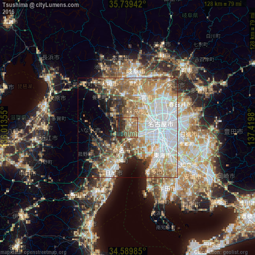
Analysis of Tsushima night lights 2016
Square area 10x10 km:
 1.05%
1.05%90-99
2.62%80-89
7.52%70-79
9.09%60-69
18.01%50-59
23.6%40-49
4.37%30-39
10.66%20-29
19.93%10-19
3.15%0-9
0%Square area 50x50 km:
14.9%90-99
11.55%80-89
6.13%70-79
7.56%60-69
10.07%50-59
8.43%40-49
5.22%30-39
4.46%20-29
6.59%10-19
6.64%0-9
18.45%Clear (daylight) street map image can be seen on geolist.org.
Map coordinates:
35° 44' 21.9" North, 136° 0' 48.8" East
35° 10' 0" North, 136° 43' 0" East
34° 35' 23.5" North, 137° 25' 11.3" East
Some cities around Tsushima sort by population:
• Nagoya
17.3 km =10.7 mi,  84°
84°
• Ichinomiya
16.6 km =10.3 mi,  27°
27°
• Kuwana
13.5 km =8.4 mi,  198°
198°
• Inazawa
11.1 km =6.9 mi, 33°
• Iwakura
18.8 km =11.7 mi,  46°
46°
• Kanie
8.4 km =5.2 mi,  116°
116°
• Kuroda
21.3 km =13.2 mi,  16°
16°
• Sobue
9.3 km =5.8 mi,  0°
0°
1849539 (p: 67,658)
Sources (retrieved 2019-11-25):
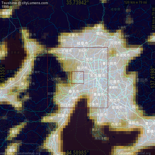
» NASA, Earths city lights 1995
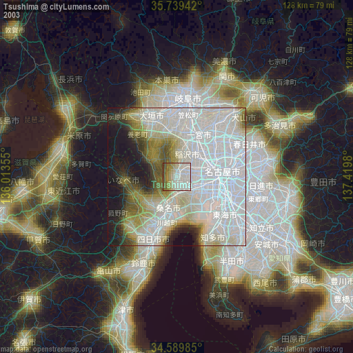
» NASA city lights 2003
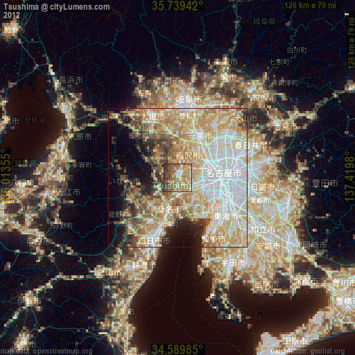
» Earth at Night: Flat Maps 2012, 2016