Yaizu night lights from space
Night Light of Yaizu (Shizuoka) from space (Japan) Src. Average luminocity for 10x10km area is 48.3773% and for 50x50km: 15.9516%.
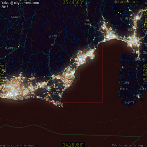
Analysis of Yaizu night lights 2016
Square area 10x10 km:
 3.11%
3.11%90-99
9.52%80-89
7.69%70-79
9.52%60-69
8.42%50-59
14.84%40-49
4.95%30-39
1.47%20-29
12.64%10-19
20.15%0-9
7.69%Square area 50x50 km:
1.47%90-99
2.66%80-89
2%70-79
1.97%60-69
2.05%50-59
2.98%40-49
2.61%30-39
2.34%20-29
5.46%10-19
13.13%0-9
63.35%Clear (daylight) street map image can be seen on geolist.org.
Map coordinates:
35° 26' 37.1" North, 137° 36' 59" East
34° 52' 7.6" North, 138° 19' 10.3" East
34° 17' 23.5" North, 139° 1' 21.5" East
Some cities around Yaizu sort by population:
• Shizuoka
14 km =8.7 mi,  24°
24°
• Fujieda
4.8 km =3 mi,  267°
267°
• Kakegawa
29.9 km =18.6 mi,  247°
247°
• Shimada
13.7 km =8.5 mi, 245°
• Sagara
23 km =14.3 mi,  207°
207°
• Ōyama
30.9 km =19.2 mi,  197°
197°
• Kanaya
18.3 km =11.4 mi, 252°
• Mori
35.5 km =22.1 mi,  263°
263°
1848774 (p: 121,057)
Sources (retrieved 2019-11-25):
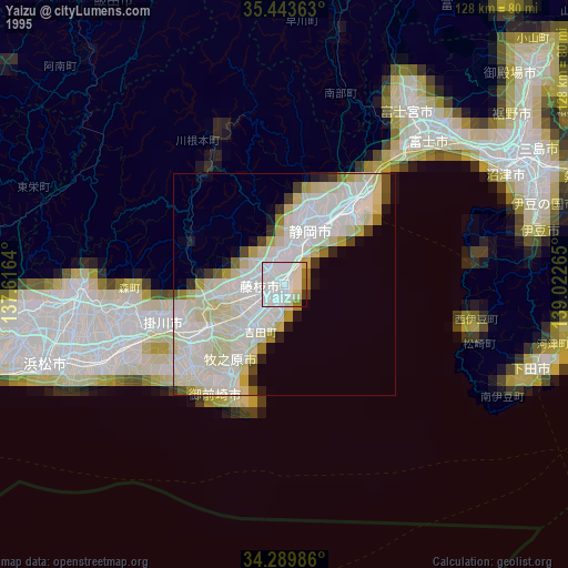
» NASA, Earths city lights 1995
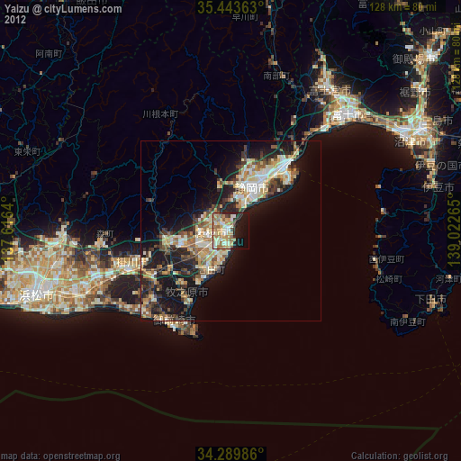
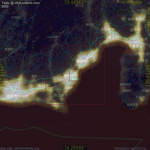
» NASA city lights 2003
» Earth at Night: Flat Maps 2012, 2016