Fujieda night lights from space
Night Light of Fujieda (Shizuoka) from space (Japan) Src. Average luminocity for 10x10km area is 62.3315% and for 50x50km: 17.11%.
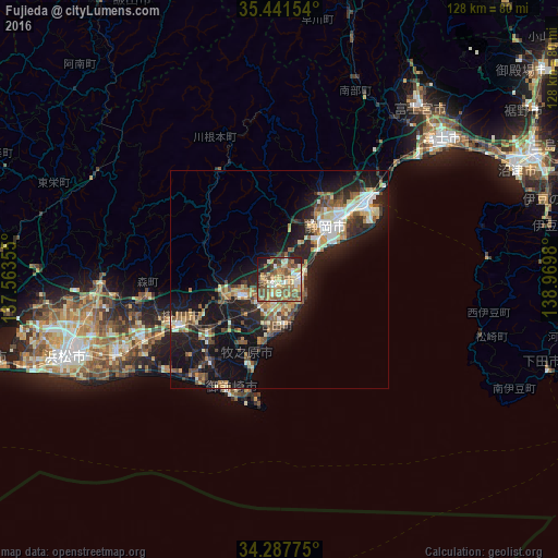
Analysis of Fujieda night lights 2016
Square area 10x10 km:
 4.58%
4.58%90-99
13.37%80-89
8.24%70-79
14.29%60-69
10.44%50-59
20.88%40-49
11.36%30-39
3.48%20-29
8.97%10-19
4.4%0-9
0%Square area 50x50 km:
1.57%90-99
2.81%80-89
2.08%70-79
2.15%60-69
2.27%50-59
3.21%40-49
2.78%30-39
2.37%20-29
5.95%10-19
14.69%0-9
60.1%Clear (daylight) street map image can be seen on geolist.org.
Map coordinates:
35° 26' 29.5" North, 137° 33' 48.8" East
34° 52' 0" North, 138° 16' 0" East
34° 17' 15.9" North, 138° 58' 11.3" East
Some cities around Fujieda sort by population:
• Shizuoka
16.8 km =10.4 mi,  39°
39°
• Yaizu
4.8 km =3 mi,  87°
87°
• Kakegawa
25.4 km =15.8 mi,  244°
244°
• Shimada
9.4 km =5.8 mi,  233°
233°
• Sagara
21 km =13 mi,  195°
195°
• Ōyama
29.6 km =18.4 mi,  188°
188°
• Kanaya
13.7 km =8.5 mi,  247°
247°
• Mori
30.6 km =19 mi,  263°
263°
1864132 (p: 132,859)
Sources (retrieved 2019-11-25):
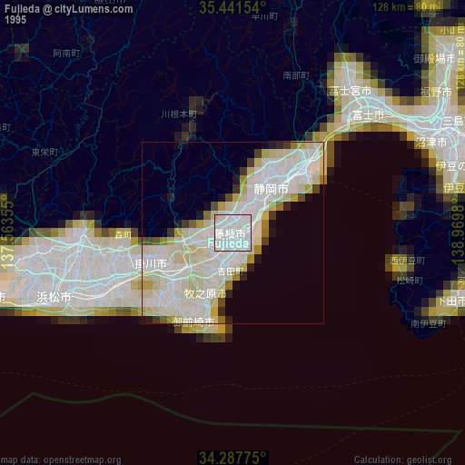
» NASA, Earths city lights 1995
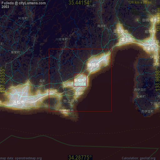
» NASA city lights 2003
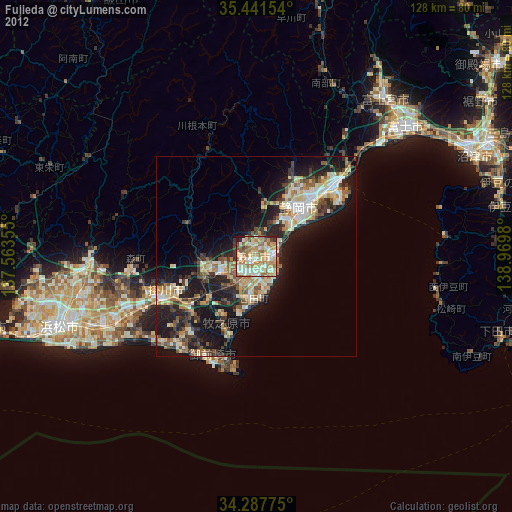
» Earth at Night: Flat Maps 2012, 2016